Scan to Boundary
Thirty years of a council’s planning applications sit in scans, and nobody knows where the sites are. This workflow reads them, traces the plot the applicant drew, puts it on the national map, and grades its own answer.
Code on GitHub ·planextracte2e.geonarvis.com
The problem
Each folder of scans holds one drawing with a red line round the site. The council needs that shape and it isn't stored anywhere. Doing it by hand takes about ten minutes a case, and there are tens of thousands of cases.
What it does
It reads every page, cuts out the plans, gets vision models to trace the red line, and places the result on the Ordnance Survey map using the scale, north arrow and street names printed on the drawing.
What comes out
One polygon per application in national grid coordinates, with a verdict and the evidence behind it. Cases the workflow can't settle are labelled as such and go to a person.
What this is a demonstration of
Several models, one typed contract
Five models from three vendors, each answering through a typed schema. Three of them vote on where the plot is, and their disagreement feeds the confidence score.
Calibrated confidence
A confidence model validated on 97 held-out pages puts each trace in a band. Only the top band, 88% right, runs without a person.
Checked against a system of record
The address is matched against the official register, the drawing’s scale gives the site a size in metres, and the shape has to agree with the map before it counts.
A fixed decision order
Five rules, applied in a set order. An address that can’t be verified rules out a match, whatever the shape score says.
Plain geometry for the measuring
Template matching, FFT correlation and least squares do the measuring. Every score is a number that can be checked.
Built to be run again
One command, pinned environments, unit tests, a nightly regression, and an evaluation gate on every push.
None of this is specific to maps. The same shape works for any messy document: find the part that matters, extract it, check it against a system of record, apply fixed rules, and send the rest to a person.
11 steps, with the checks at each one
How it was built
Every rule in the decision order was added after a specific case failed. This is the loop that added them.
Claude Code ran the loop, with access to the repository, the single-case command line and the overlays each stage writes. A person chose which failure to work on and accepted or rejected each patch.
- The verdict: the agent proposes rules, the scorer decides.
- The labels: drawn and graded by a person, and the agent can’t edit the evaluation set.
- The baseline: rules land as commits with a regression diff attached.
Eight failures, and the rule each one produced
open
What the measurements say
Two separate questions. Every proportion is shown with its 95% interval, because the samples are small.
- The top band was 88% right on the held-out pages, and it is the only band that runs without a person. The middle band was 67% right, the bottom band 22%.
- All 8 polygons the workflow called a match were the right land; the interval on the false-accept rate is 0–32%. The one wrong placement had been reported as unverified.
- On pages with no boundary drawn, the tracer declined only 47% of the time and drew something on the rest. This is the next thing to fix.
- Out of sample, the fifteen-feature confidence model scores lower than simply counting review flags: AUC 0.699 against 0.785. It needs either more labels or fewer features.
The tables, the calibration chart, and what the truth is
open
Trace, by confidence band
| band | blind | right | fitted | right |
|---|---|---|---|---|
| high | 24 | 88%21/24 | 21 | 86%18/21 |
| medium | 27 | 67%18/27 | 17 | 35%6/17 |
| low | 36 | 22%8/36 | 20 | 20%4/20 |
- median IoU where a boundary exists 0.837
- right overall, all bands 58%56/97
- declines a page with nothing drawn 47%9/19
Calibration on the blind set
Placement: what it said against what it was
| verdict | right | partly | wrong | unsure | no_answer | all |
|---|---|---|---|---|---|---|
| matches | 8 | 1 | 9 | |||
| similar | 1 | 2 | 1 | 4 | ||
| different | 5 | 5 | ||||
| unverified | 1 | 1 | ||||
| no ring | 1 | 1 |
- said “matches” and was right 100%8/8
- said “matches” and was wrong 0%0/8
- right overall, judgeable plans 53%9/17
Right, by how well the address resolved
| geocode | right |
|---|---|
| probable | 1/1 |
| unverified | 0/2 |
| verified | 8/14 |
When the address register confirms the address, the answer is usually right. When it doesn’t, the workflow reports the case as unverified.
# the harness, on the run behind this page
python3 eval/run.py                                  # both halves, writes eval/report.json
python3 eval/run.py --geo OUT/geo.json               # placement on another run
python3 eval/compare.py eval/before.json eval/after.json   # did a change help? fails on a new false accept
Checks that run on every change
The six pieces
open
pytest: alignment, union fitting, geocode QC parsing, north-arrow rules, records loading. Runs in seconds without a GPU.benchmark/fixtures/, so stage D runs with no GPU, no key and no network. It fails if a plan called a match was the wrong land, if any verdict loses a band against the committed baseline, or if the IoU falls more than 0.05. CI runs it twice and compares the fingerprint.eval/run.py --skip-trace on every push, no GPU or key: the job fails if a polygon called a match was the wrong land. Nightly, eval/compare.py fails on a new false accept.ci/baseline.json. A downgrade fails the job; the baseline moves only by a deliberate commit.units on ubuntu every push; smoke and nightly regression on the GPU runner; release on a tag.requirements/*.txt; the units job needs only base.txt. The smoke case runs from cached stage A/B output, so it spends nothing.12 cases; open one to see every page and every fit
00_00024_FUL
Cartref, Queenborough Lane, Braintree, Essex CM7 8QDlocation · matchessite · matches5 pages · 2 traced
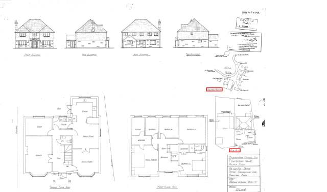
Stage A — every raw page
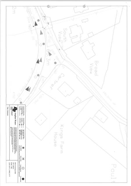
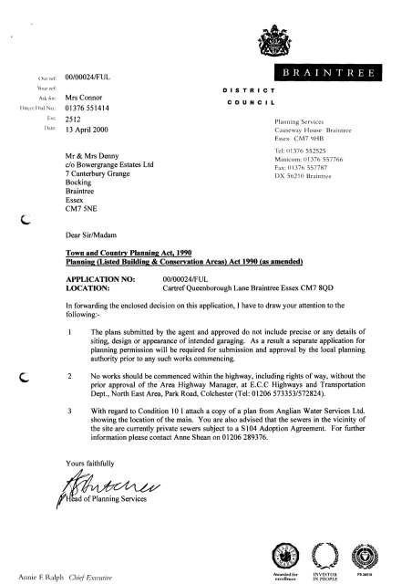
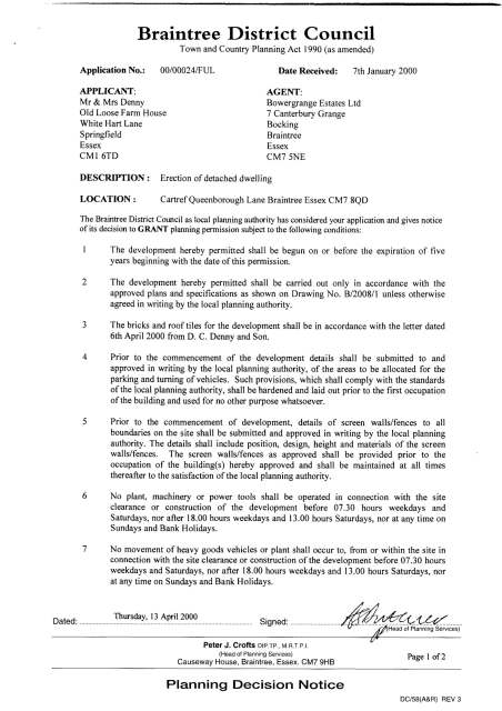
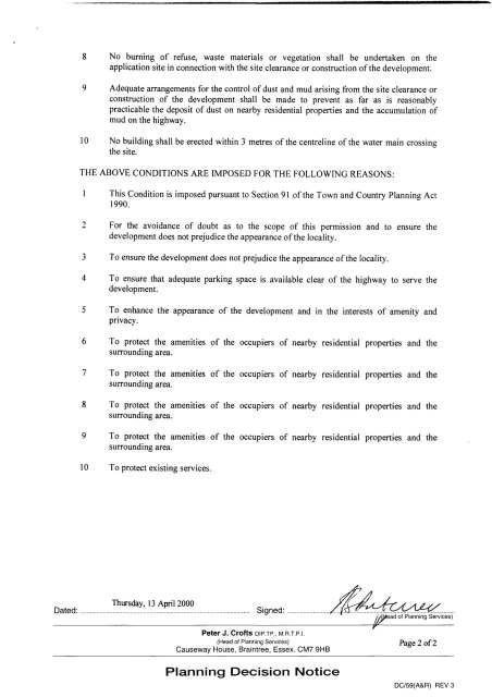
Stage B · C — each plan, in pipeline order
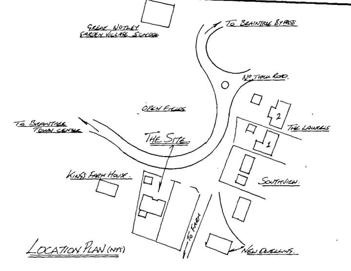
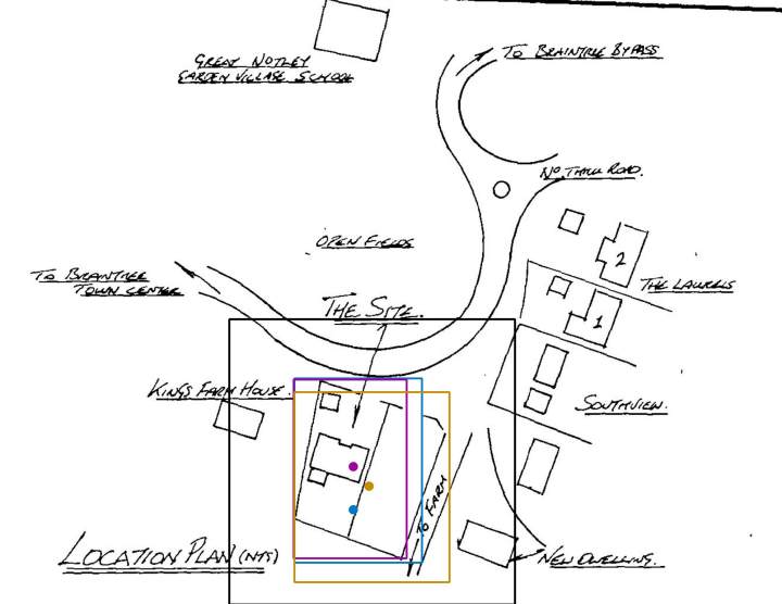
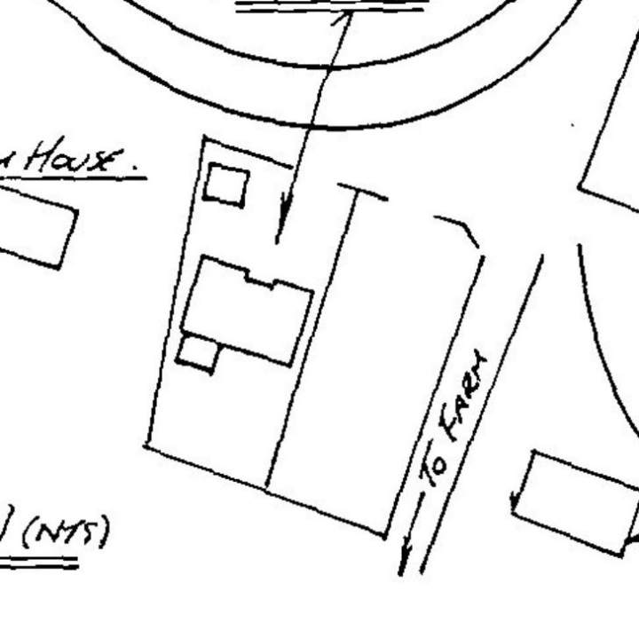
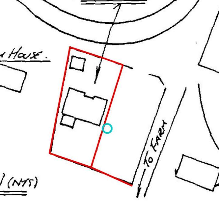
what it said
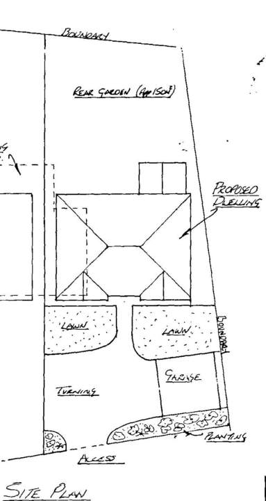
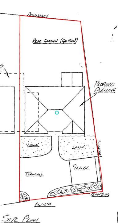
“I traced the visible curtilage/property lines enclosing the house and its garden: the left edge from the upper-left corner down to the lower-left corner, the lower boundary, and the sloping right-hand division line. The upper boundary is visibly broken …”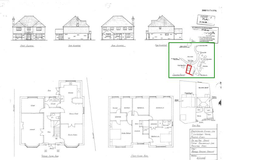
- the ring does not contain the locator's point
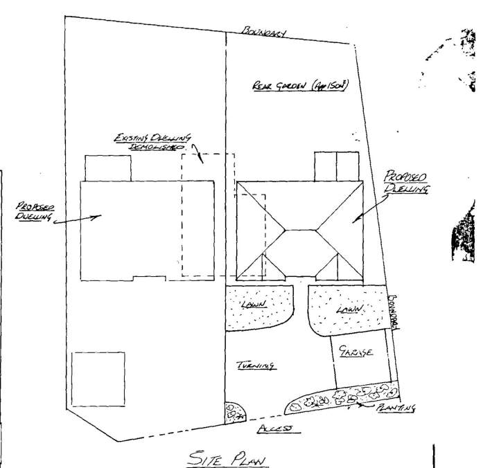
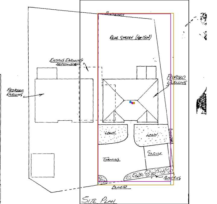
what it said
“I traced the visible outer curtilage line: the long rear boundary across the top, the straight left-hand side, and the sloping right-hand side down to the front. The frontage boundary between the lower-left corner at (181,1878) and lower-right corner at …”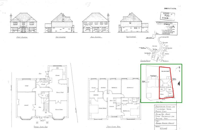
Stage D — on the map
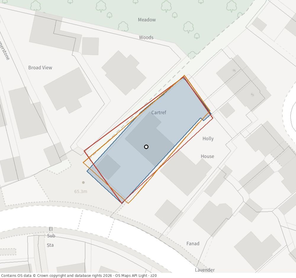
Geocoded to CARTREF, QUEENBOROUGH LANE, BRAINTREE, CM77 7QD · UPRN 10006913408 · hit parcel 625.7 m²
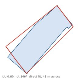
geocode verified, ring at real size (1:1250 x 300 dpi)
hit parcel
every candidate
union of land-use sites: shape-only IoU 0.81 from 1 parcel (626 m²)
union of topographic areas: shape-only IoU 0.81 from 3 areas (626 m², Buildings, Land)
direct fit to the line network: edge support 0.80, ring placed at 799 m² (×1.28 of the hit parcel), rotated 151°; encloses 4 topographic areas → IoU 0.71
building outline(s), shape-only, MasterMap Buildings within 40 m: IoU 0.68 from 1 building part (131 m²)
north arrow: rejected — other, north None° clockwise from up, confidence 0.98 (no symbol)
metric prior: drawing scale 1:1250 × 300 dpi (JPEG dpi tag) → the ring is really 660 m², ×1.06 the hit parcel; no north label, rotation searched; line-network fit at that size: support 0.78, rotation 156°, 17 m from the address; 4 topographic areas under it (662 m²) → IoU 0.62
elongation ring 2.18 vs hit parcel 2.55
best neighbouring parcel: IoU 0.86 (231 m²) — the shape prefers a neighbour
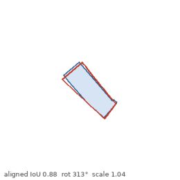
geocode verified
hit parcel
every candidate
union of land-use sites: shape-only IoU 0.87 from 1 parcel (626 m²)
union of topographic areas: shape-only IoU 0.87 from 3 areas (626 m², Buildings, Land)
direct fit to the line network: edge support 0.80, ring placed at 707 m² (×1.13 of the hit parcel), rotated 136°; encloses 3 topographic areas → IoU 0.85
building outline(s), shape-only, MasterMap Buildings within 40 m: IoU 0.64 from 1 building part (131 m²)
elongation ring 1.83 vs hit parcel 2.55
best neighbouring parcel: IoU 0.83 (252 m²)
01_00559_FUL
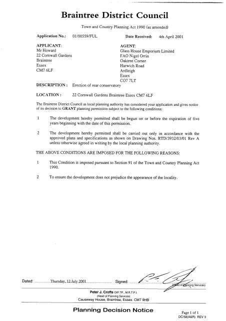
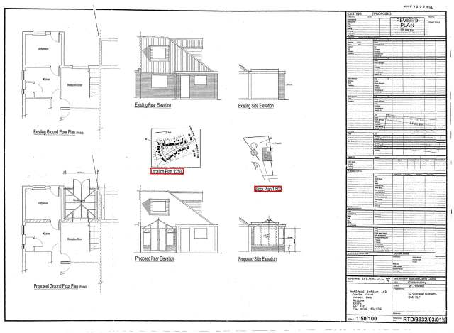
22 Cornwall Gardens, Braintree, Essex CM7 6LFlocation · no ringblock · matches2 pages · 2 traced
Stage A — every raw page
Stage B · C — each plan, in pipeline order
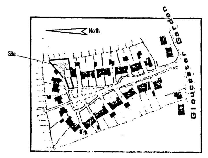
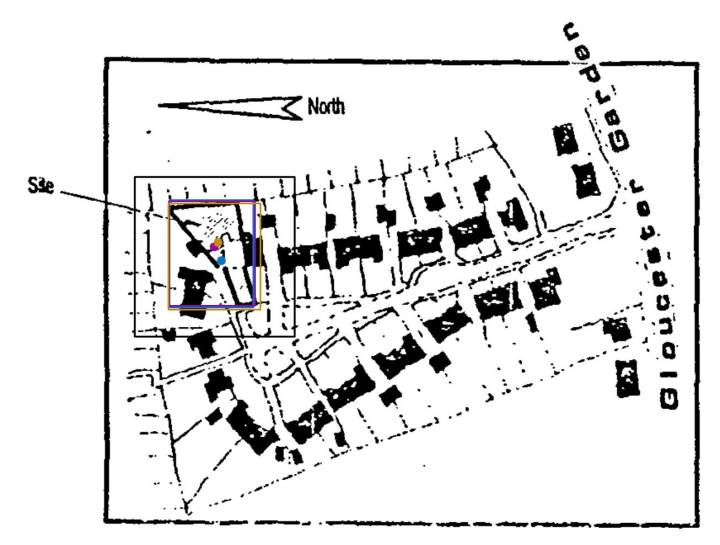
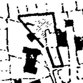
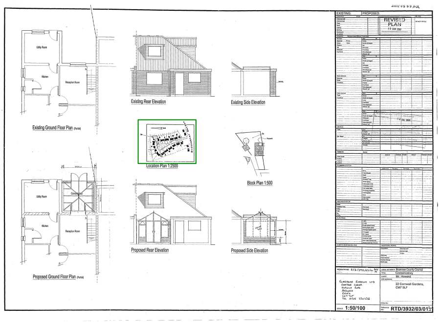
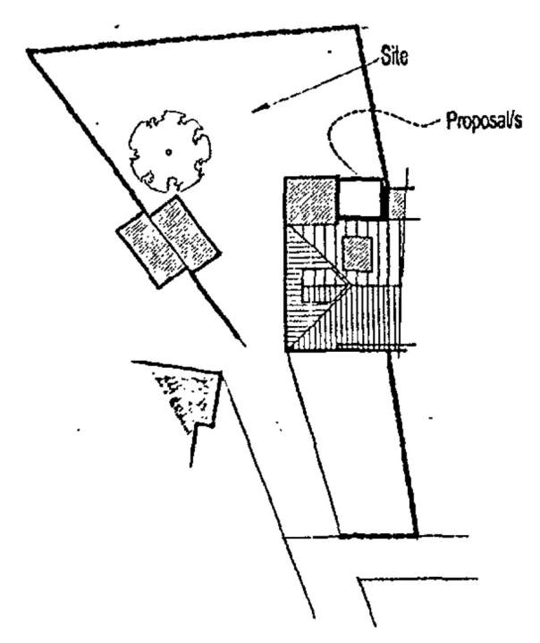
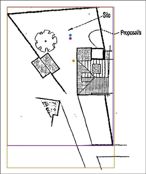
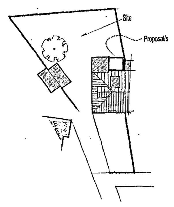
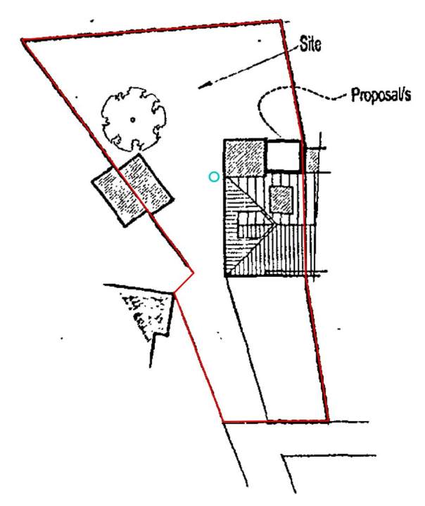
what it said
“I traced the visible outer curtilage line: the heavy diagonal at upper left, the top edge, the right-hand edge past the building, and the lower return. The short connection between the diagonal's lower end near (416,587) and the lower-left boundary near …”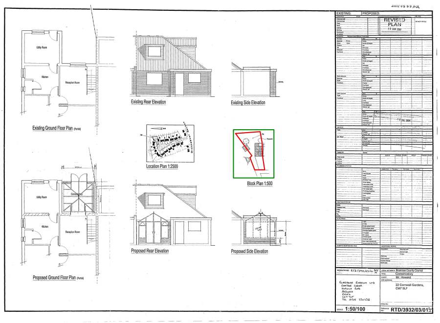
Stage D — on the map
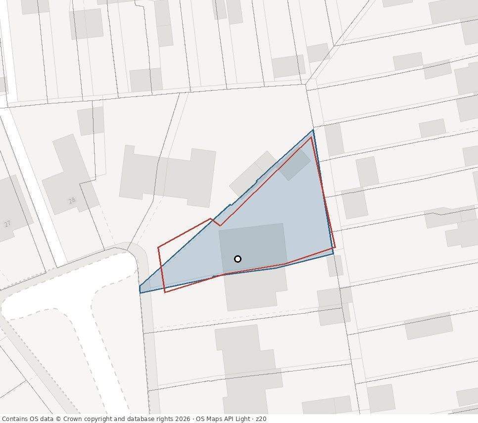
Geocoded to 22, CORNWALL GARDENS, BRAINTREE, CM7 9LF · UPRN 100090296393 · hit parcel 461.2 m²
no ring
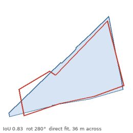
geocode verified, ring at real size (1:500 x 300 dpi)
hit parcel
every candidate
union of land-use sites: shape-only IoU 0.82 from 1 parcel (461 m²)
union of topographic areas: shape-only IoU 0.82 from 3 areas (461 m², Buildings, Land)
direct fit to the line network: edge support 0.83, ring placed at 556 m² (×1.20 of the hit parcel), rotated 276°; encloses 3 topographic areas → IoU 0.79
building outline(s), shape-only, MasterMap Buildings within 40 m: IoU 0.67 from 1 building part (90 m²)
north arrow: rejected — arrow, north 314.0° clockwise from up, confidence 0.87 ('arrow' without a NORTH label is not trusted (leader arrows look the same), confidence 0.87)
metric prior: drawing scale 1:500 × 300 dpi (JPEG dpi tag) → the ring is really 539 m², ×1.17 the hit parcel; no north label, rotation searched; line-network fit at that size: support 0.79, rotation 276°, 5 m from the address; 3 topographic areas under it (461 m²) → IoU 0.78
elongation ring 1.78 vs hit parcel 1.89
best neighbouring parcel: IoU 0.79 (286 m²)
02_02212_FUL
32 London Road, Braintree, Essex CM7 7LGlocation · matches2 pages · 1 traced
Stage A — every raw page
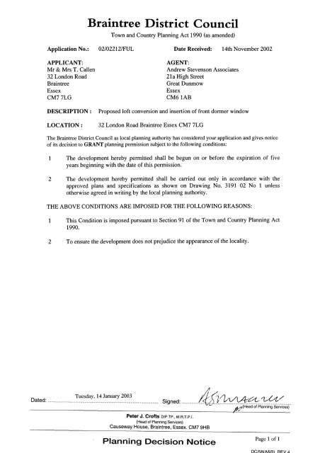
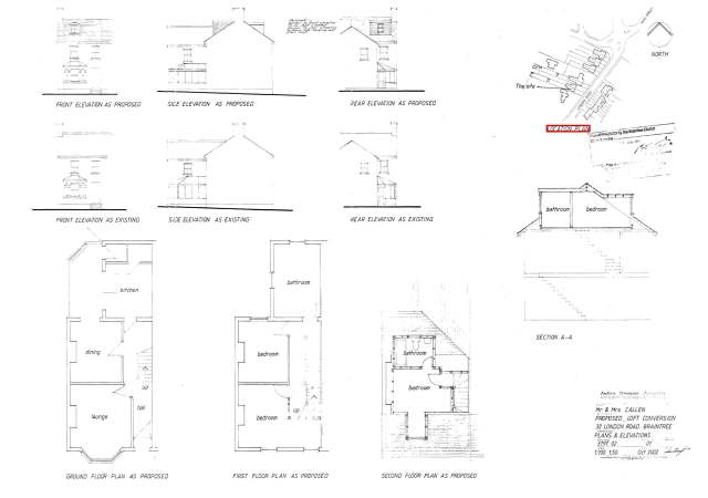
Stage B · C — each plan, in pipeline order
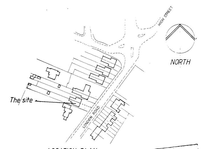
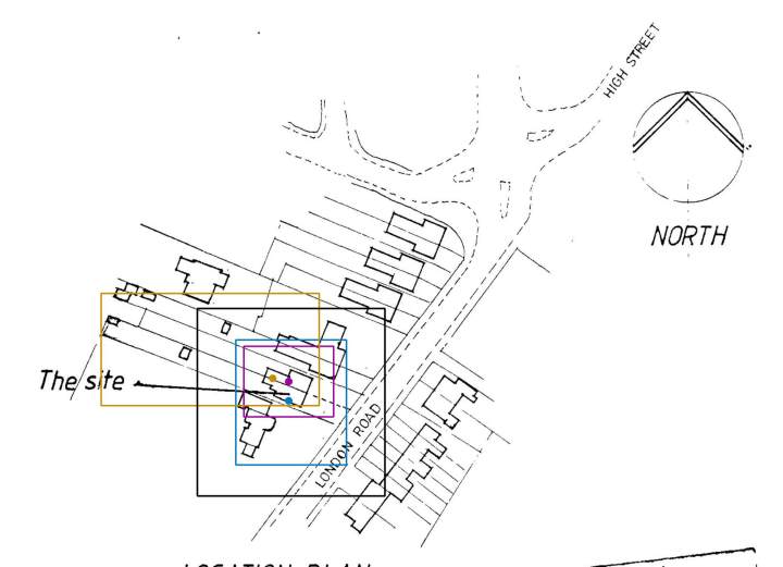
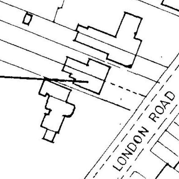
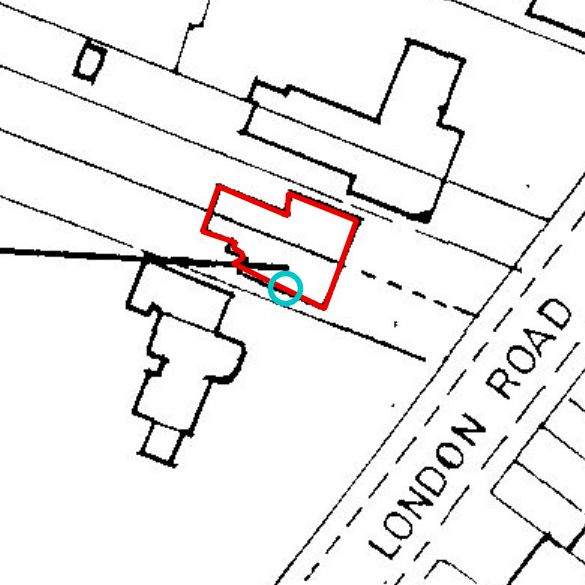
what it said
“The cyan target lies within this clearly drawn building footprint. I traced its irregular external wall outline; the surrounding curtilage boundary is not consistently delineated, and the heavy line from the left is the stated site-label leader rather than …”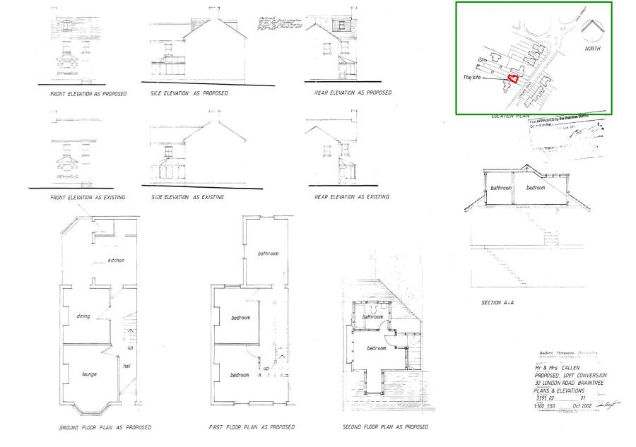
- locators split 1/3 on which plot this is
Stage D — on the map
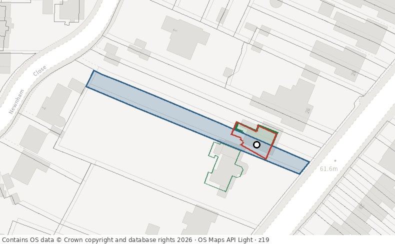
Geocoded to 32, LONDON ROAD, BRAINTREE, CM7 2LG · UPRN 10006906637 · hit parcel 571.8 m²
landmarks resolved (1)
Landmarks on the plan resolved: HIGH STREET → High Street (road)
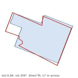
drawing scale 1:1250 x 300 dpi, ring at real size vs buildings near the address + north arrow, geocode verified; building carries 32, LONDON ROAD, BRAINTREE, CM7 2LG
2 building part(s), 124 m², 0 m from the address point; plot = UPRN parcel containing it (572 m²)
every candidate
union of land-use sites: shape-only IoU 0.48 from 3 parcels (1732 m²)
union of topographic areas: shape-only IoU 0.67 from 5 areas (2275 m², Buildings, Land)
direct fit to the line network: edge support 0.82, ring placed at 275 m² (×0.48 of the hit parcel), rotated 93°; encloses 4 topographic areas → IoU 0.53
building outline(s), shape-only, MasterMap Buildings within 40 m: IoU 0.84 from 2 building parts (124 m²)
north arrow: accepted — arrow, north 0.0° clockwise from up, confidence 0.84 (symbol next to the OCR label 'NORTH', confidence 0.84); chosen fit turned the drawing 1.0° away from it
ring at real size vs the buildings within 30 m of the address (bidirectional IoU, ±20% size, rotation from the north arrow): IoU 0.84 with 2 building parts (124 m², 0 m from the point), rotated 359°, size ×1.05
metric prior: drawing scale 1:1250 × 300 dpi (JPEG dpi tag) → the ring is really 115 m², ×0.2 the hit parcel; north arrow read; line-network fit at that size: support 0.85, rotation 0°, 78 m from the address; 1 topographic areas under it (177 m²) → IoU 0.40
elongation ring 1.41 vs hit parcel 10.12
best neighbouring parcel: IoU 0.87 (395 m²) — the shape prefers a neighbour
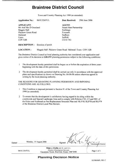
06_01326_FUL
Magpie Hall, Plaistow Green Road, Halstead, Essex CO9 1QBblock · differentlocation · matches2 pages · 2 traced
Stage A — every raw page
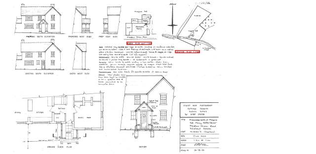
Stage B · C — each plan, in pipeline order
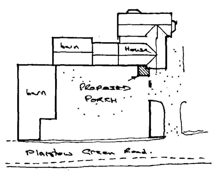
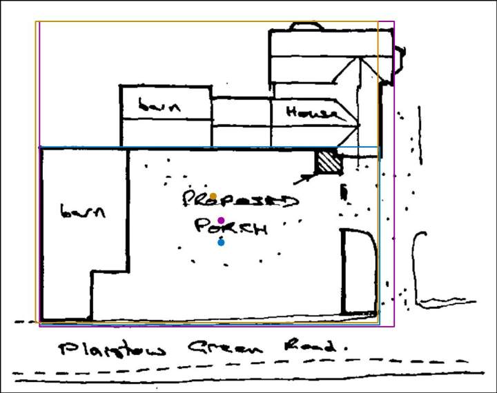
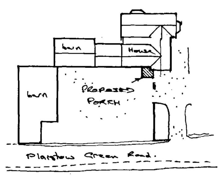
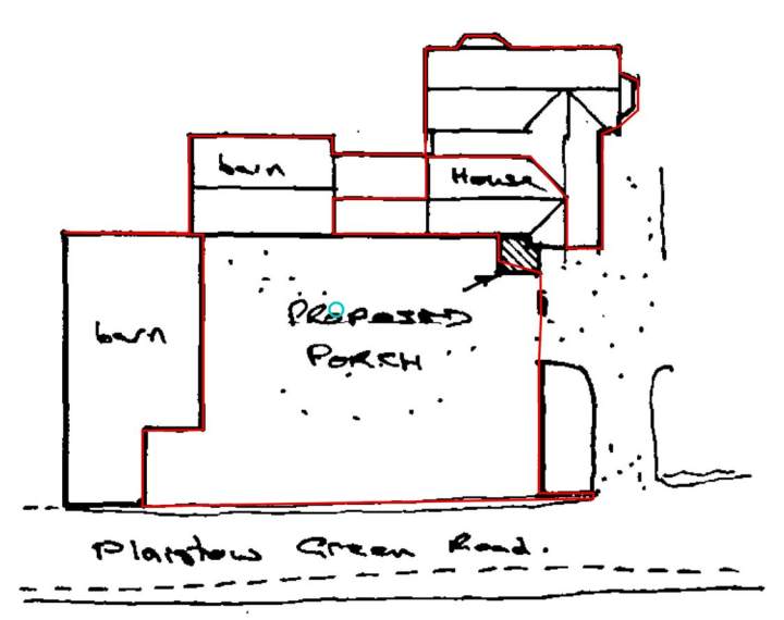
what it said
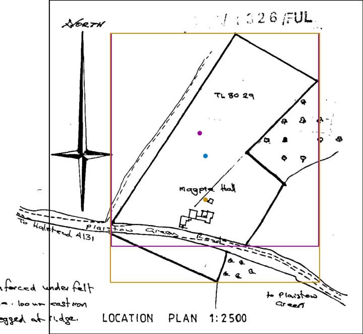
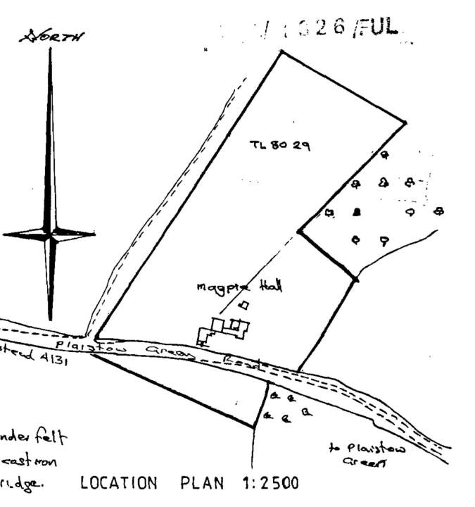
“Traced the continuous heavy property/building-and-garden curtilage outline, including the stepped building perimeter at the north and the lawn/garden perimeter along the west and south. The eastern garden edge is visibly interrupted between the porch area …”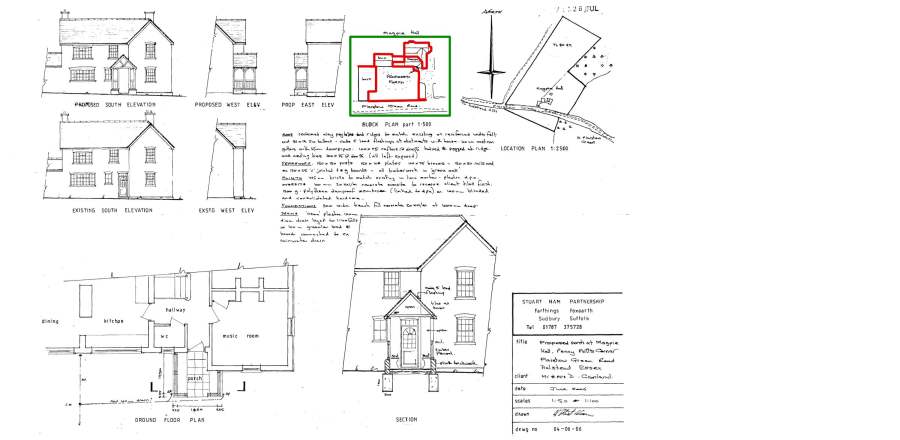
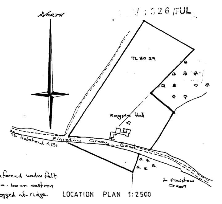
what it said
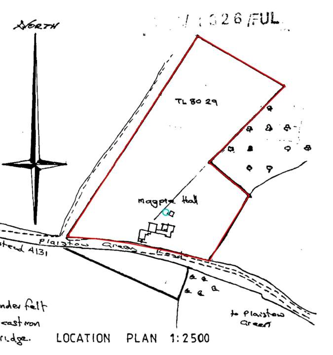
“Traced the heavy black curtilage outline enclosing the land labelled TL 80 29: from the road junction up the long west side, around the northern/eastern edges and indented eastern corner, then back along its road frontage. I excluded the thin diagonal …”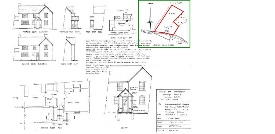
Stage D — on the map
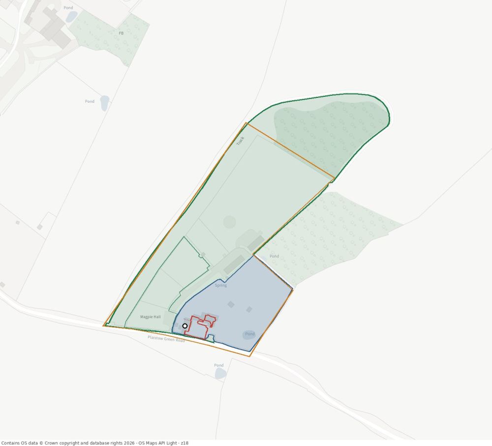
Geocoded to MAGPIE HALL, PLAISTOW GREEN ROAD, HALSTEAD, CO9 1QB · UPRN 10006914926 · hit parcel 7206.1 m²
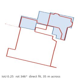
drawing scale 1:500 x 300 dpi, geocode verified
3 topographic areas under the metric placement (199 m²)
every candidate
union of land-use sites: shape-only IoU 0.69 from 1 parcel (7206 m²)
union of topographic areas: shape-only IoU 0.69 from 12 areas (7206 m², Buildings, Land, Water)
direct fit to the line network: edge support 0.55, ring placed at 3063 m² (×0.43 of the hit parcel), rotated 273°; encloses 9 topographic areas → IoU 0.53
building outline(s), shape-only, MasterMap Buildings within 40 m: IoU 0.60 from 1 building part (106 m²)
north arrow: rejected — other, north None° clockwise from up, confidence 0.96 (no symbol)
ring at real size vs the buildings within 30 m of the address (bidirectional IoU, ±20% size, rotation free): IoU 0.52 with 4 building parts (231 m², 8 m from the point), rotated 127°, size ×0.8
metric prior: drawing scale 1:500 × 300 dpi (JPEG dpi tag) → the ring is really 511 m², ×0.07 the hit parcel; no north label, rotation searched; line-network fit at that size: support 0.70, rotation 346°, 15 m from the address; 3 topographic areas under it (199 m²) → IoU 0.25
elongation ring 1.32 vs hit parcel 1.46
best neighbouring parcel: IoU 0.69 (7206 m²)
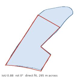
drawing scale 1:2500 x 300 dpi + north arrow, geocode verified
39 topographic areas under the metric placement (29,387 m²)
every candidate
union of land-use sites: shape-only IoU 0.74 from 1 parcel (7206 m²)
union of topographic areas: shape-only IoU 0.74 from 12 areas (7206 m², Buildings, Land, Water)
direct fit to the line network: edge support 0.69, ring placed at 4420 m² (×0.61 of the hit parcel), rotated 3°; encloses 10 topographic areas → IoU 0.77
building outline(s), shape-only, MasterMap Buildings within 40 m: IoU 0.71 from 1 building part (106 m²)
north arrow: accepted — arrow, north 0.0° clockwise from up, confidence 0.99 (symbol next to the OCR label 'AORTH', confidence 0.99); chosen fit turned the drawing 0.0° away from it
metric prior: drawing scale 1:2500 × 300 dpi (JPEG dpi tag) → the ring is really 25,478 m², ×3.54 the hit parcel; north arrow read; line-network fit at that size: support 0.53, rotation 0°, 90 m from the address; 39 topographic areas under it (29,387 m²) → IoU 0.88
elongation ring 1.63 vs hit parcel 1.46
best neighbouring parcel: IoU 0.74 (7206 m²)
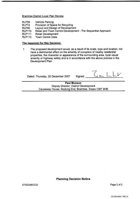
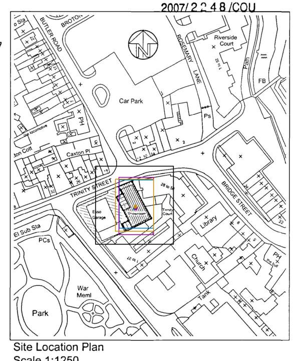
07_02248_COU
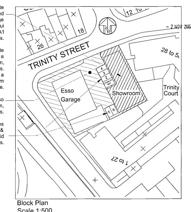
Former Car Showroom, Trinity Street, Halstead, Essex CO9 1JBblock · matcheslocation · similar3 pages · 2 traced
Stage A — every raw page
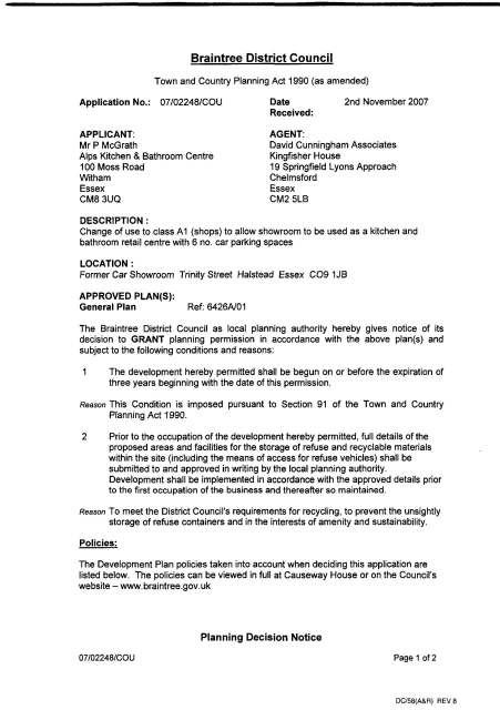
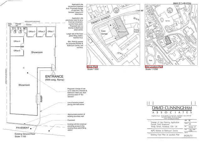
Stage B · C — each plan, in pipeline order
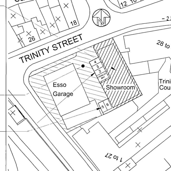
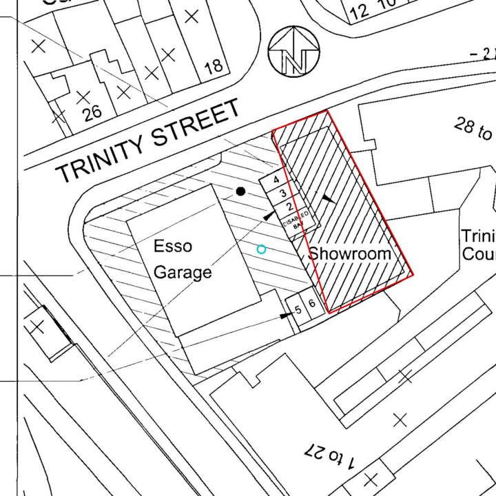
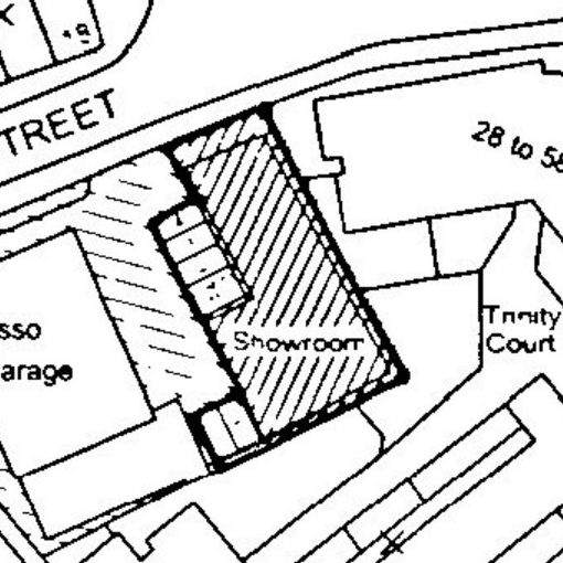
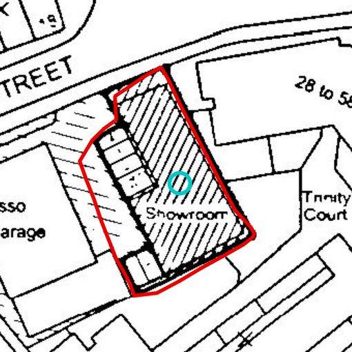
what it said
“No enclosing curtilage boundary is distinctly drawn. I traced the outline of the densely hatched Showroom structure, which is the clearly marked application feature; the thin diagonal hatching elsewhere is not a plot boundary.”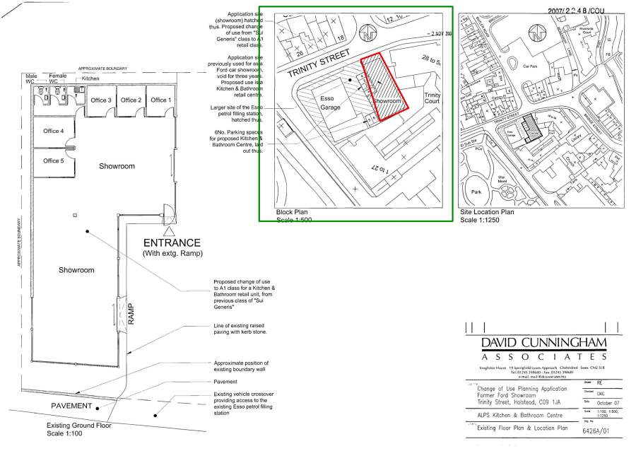
- locators split 2/3 on which plot this is
- the ring does not contain the locator's point
- traced the marked building; no curtilage was drawn
what it said
“Traced the heavy outlined perimeter enclosing the hatched Snowroom building/curtilage, including its angled north-west edge, long diagonal east side, and stepped south-east corner.”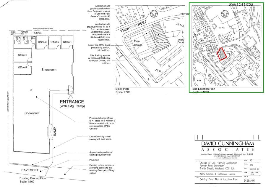
Stage D — on the map
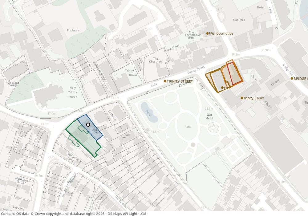
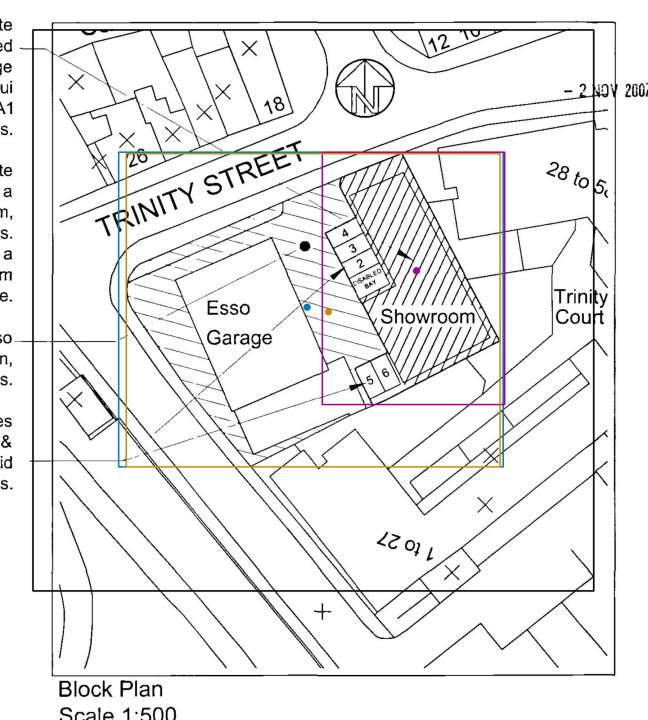
Geocoded to ESSEX ARMS HOUSE, TRINITY STREET, HALSTEAD, CO9 1JQ · UPRN 100091220554 · hit parcel 505.9 m²
landmarks resolved (7)
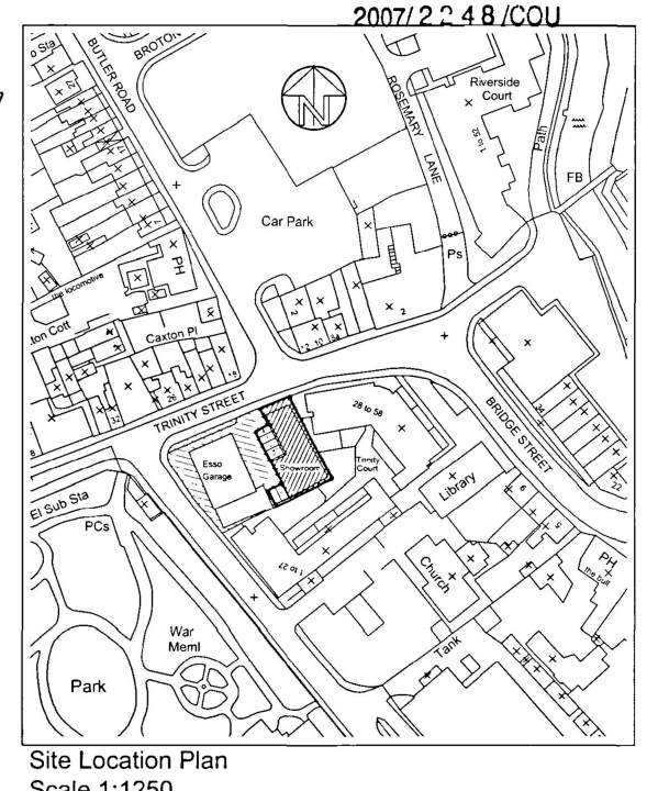
Landmarks on the plan resolved: Trinity Court → 1 (premises) · TRINITY STREET → Trinity Street (road) · Esso → ESSO (premises) · BUTLER ROAD → Butler Road (road) · ROSEMARY LANE → Rosemary Lane (road) · the locomotive → THE LOCOMOTIVE (premises) · BRIDGE STREET → Bridge Street (road)
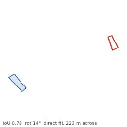
landmarks on the plan
the parcel under the anchored ring
every candidate
union of land-use sites: shape-only IoU 0.83 from 1 parcel (506 m²)
union of topographic areas: shape-only IoU 0.83 from 2 areas (506 m², Buildings, Land)
direct fit to the line network: edge support 0.78, ring placed at 506 m² (×1.00 of the hit parcel), rotated 296°; encloses 6 topographic areas → IoU 0.70
building outline(s), shape-only, MasterMap Buildings within 40 m: IoU 0.64 from 1 building part (102 m²)
north arrow: accepted — compass star, north 0.0° clockwise from up, confidence 0.99 (compass star with no label, confidence 0.99); chosen fit turned the drawing 1.1° away from it
ring at real size vs the buildings within 30 m of the address (bidirectional IoU, ±20% size, rotation from the north arrow): IoU 0.65 with 2 building parts (208 m², 13 m from the point), rotated 14°, size ×0.8
metric prior: drawing scale 1:500 × 300 dpi (JPEG dpi tag) → the ring is really 353 m², ×0.7 the hit parcel; north arrow read; line-network fit at that size: support 0.80, rotation 2°, 101 m from the address; 3 topographic areas under it (404 m²) → IoU 0.59
landmark registration: 3 anchors (2 premises), rotation 357.1°, 0.0377 m/px, RMS 12.4 m; ring 336 m², 210 m from the geocode; parcel under it IoU 0.81, topo areas under it IoU 0.81
elongation ring 2.42 vs hit parcel 2.45
best neighbouring parcel: IoU 0.83 (149 m²)
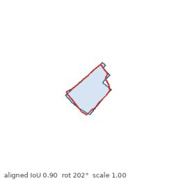
landmarks on the plan
3 topographic areas under the anchored ring
every candidate
union of land-use sites: shape-only IoU 0.90 from 4 parcels (1509 m²)
union of topographic areas: shape-only IoU 0.79 from 4 areas (665 m², Buildings, Land)
direct fit to the line network: edge support 0.79, ring placed at 215 m² (×0.43 of the hit parcel), rotated 289°; encloses 2 topographic areas → IoU 0.71
building outline(s), shape-only, MasterMap Buildings within 40 m: IoU 0.86 from 1 building part (102 m²)
north arrow: accepted — compass star, north 0.0° clockwise from up, confidence 0.99 (compass star with no label, confidence 0.99); chosen fit turned the drawing 1.5° away from it
ring at real size vs the buildings within 30 m of the address (bidirectional IoU, ±20% size, rotation from the north arrow): IoU 0.66 with 2 building parts (238 m², 10 m from the point), rotated 17°, size ×0.8
metric prior: drawing scale 1:1250 × 300 dpi (JPEG dpi tag) → the ring is really 520 m², ×1.03 the hit parcel; north arrow read; line-network fit at that size: support 0.84, rotation 2°, 96 m from the address; 3 topographic areas under it (404 m²) → IoU 0.67
landmark registration: 6 anchors (2 premises), rotation 2.5°, 0.1254 m/px, RMS 24.6 m; ring 656 m², 206 m from the geocode; parcel under it IoU 0.52, topo areas under it IoU 0.66
elongation ring 1.41 vs hit parcel 2.45
best neighbouring parcel: IoU 0.82 (5333 m²) — the shape prefers a neighbour
01_01633_FUL
Oasis, Church Lane, Toppesfield, Halstead, Essex CO9 4DTsite · differentsite · differentblock · different3 pages · 3 traced
Stage A — every raw page
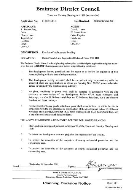
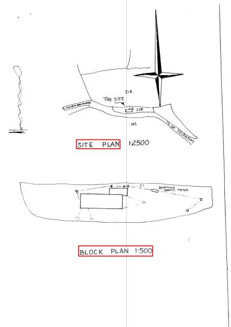
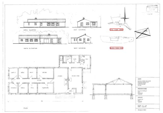
Stage B · C — each plan, in pipeline order
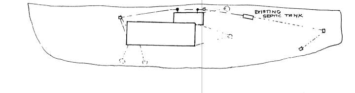
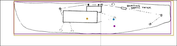
what it said
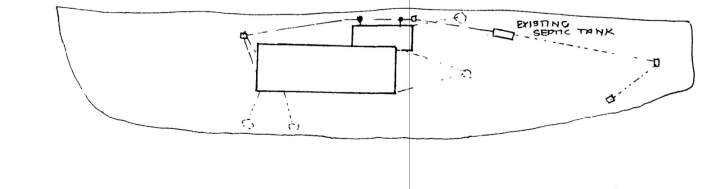
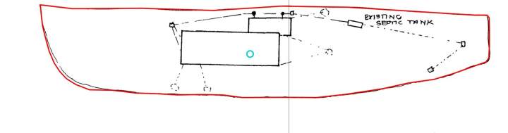
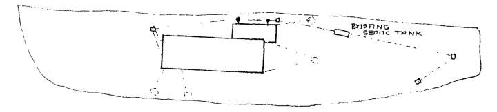
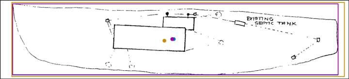
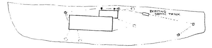
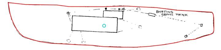
“Traced the continuous solid irregular outer perimeter enclosing the house, garden and septic-tank area. Dashed service/annotation lines and the building footprint were excluded.”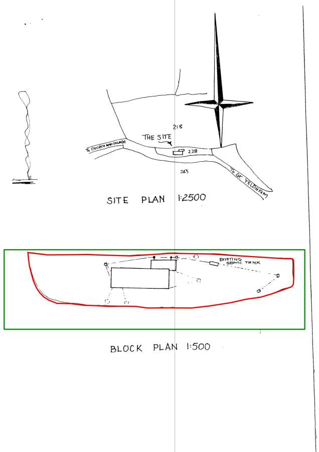
what it said
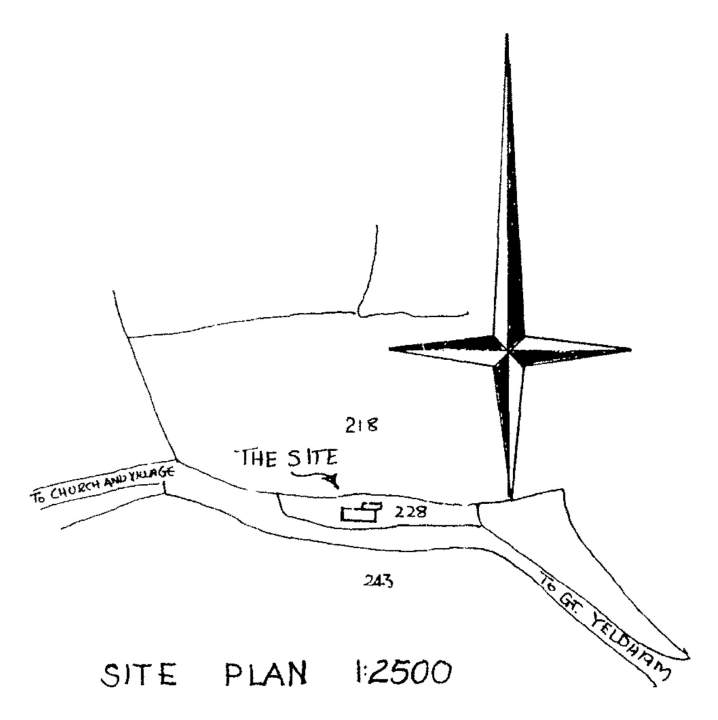
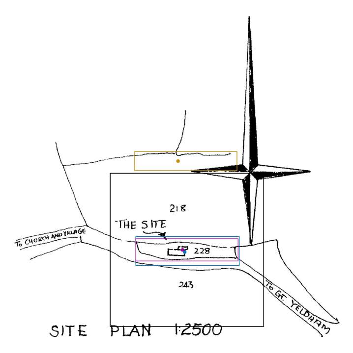
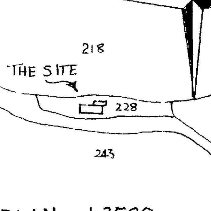
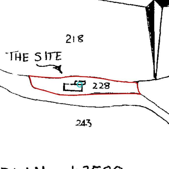
“Traced the narrow curtilage labelled 228: its upper boundary below 218, the curved right-hand dividing edge, the lower frontage boundary above 243, and the short curved left-hand side. The 'THE SITE' arrow was ignored as an annotation.”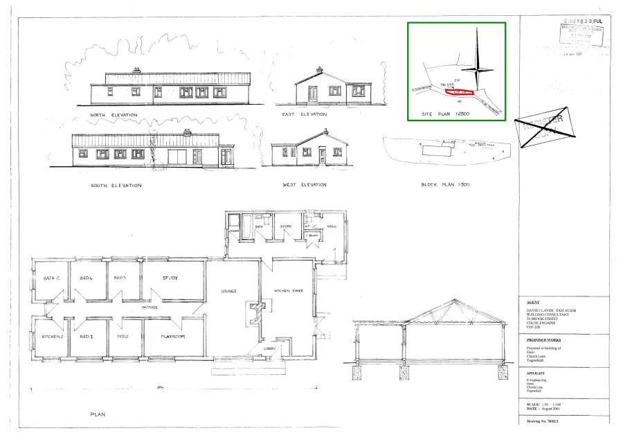
- locators split 2/3 on which plot this is
what it said
“Traced the large irregular outer curtilage boundary enclosing the house, garden and existing septic tank. The upper and lower edges are partly broken/faint in the scan, but follow the continuous perimeter line rather than the bold building footprint or the …”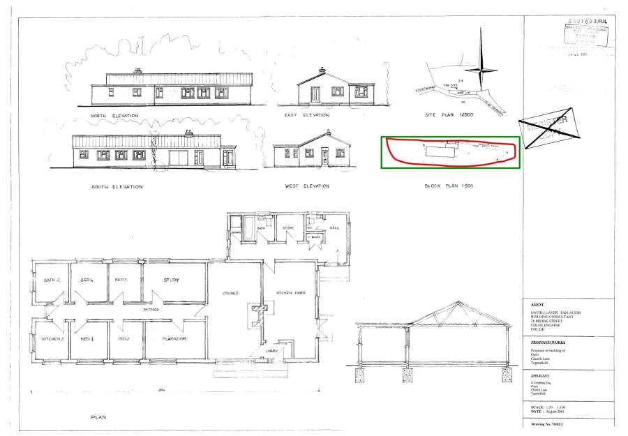
Stage D — on the map
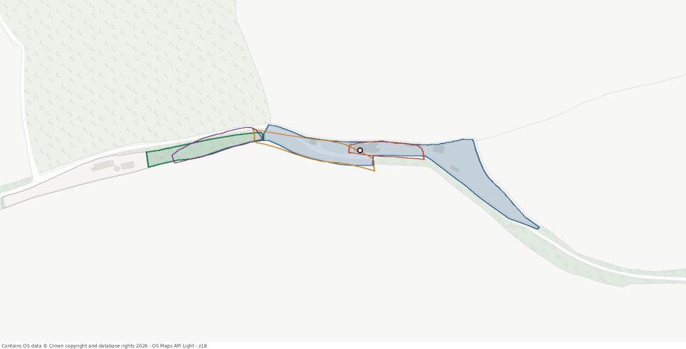
Geocoded to OASIS, CHURCH LANE, TOPPESFIELD, HALSTEAD, CO9 4DT · UPRN 100091218721 · hit parcel 5538.0 m²
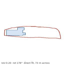
drawing scale 1:500 x 300 dpi, geocode verified
2 topographic areas under the metric placement (193 m²)
every candidate
union of land-use sites: shape-only IoU 0.47 from 1 parcel (5538 m²)
union of topographic areas: shape-only IoU 0.52 from 10 areas (6497 m², Buildings, Land, Roads Tracks And Paths)
direct fit to the line network: edge support 0.76, ring placed at 2221 m² (×0.40 of the hit parcel), rotated 1°; encloses 4 topographic areas → IoU 0.23
building outline(s), shape-only, MasterMap Buildings within 40 m: IoU 0.60 from 1 building part (193 m²)
north arrow: rejected — other, north None° clockwise from up, confidence 0.93 (no symbol)
metric prior: drawing scale 1:500 × 300 dpi (JPEG dpi tag) → the ring is really 1,345 m², ×0.24 the hit parcel; no north label, rotation searched; line-network fit at that size: support 0.75, rotation 178°, 26 m from the address; 2 topographic areas under it (193 m²) → IoU 0.20
elongation ring 4.88 vs hit parcel 4.66
best neighbouring parcel: IoU 0.68 (2208 m²) — the shape prefers a neighbour
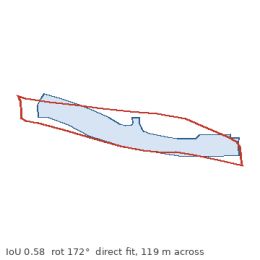
geocode verified
direct fit to the line network
every candidate
union of land-use sites: shape-only IoU 0.50 from 1 parcel (5538 m²)
union of topographic areas: shape-only IoU 0.55 from 11 areas (6899 m², Buildings, Land, Roads Tracks And Paths)
direct fit to the line network: edge support 0.66, ring placed at 1965 m² (×0.35 of the hit parcel), rotated 172°; encloses 4 topographic areas → IoU 0.58
building outline(s), shape-only, MasterMap Buildings within 40 m: IoU 0.52 from 1 building part (193 m²)
north arrow: accepted — compass star, north 0.0° clockwise from up, confidence 0.99 (compass star with no label, confidence 0.99); chosen fit turned the drawing 172.0° away from it
metric prior: drawing scale 1:2500 × 300 dpi (JPEG dpi tag) → the ring is really 1,195 m², ×0.22 the hit parcel; north arrow read; line-network fit at that size: support 0.71, rotation 0°, 26 m from the address; 3 topographic areas under it (193 m²) → IoU 0.19
elongation ring 5.83 vs hit parcel 4.66
best neighbouring parcel: IoU 0.76 (2208 m²) — the shape prefers a neighbour
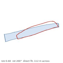
drawing scale 1:500 x 300 dpi, geocode verified
1 topographic areas under the metric placement (1,495 m²)
every candidate
union of land-use sites: shape-only IoU 0.47 from 1 parcel (5538 m²)
union of topographic areas: shape-only IoU 0.52 from 10 areas (6497 m², Buildings, Land, Roads Tracks And Paths)
direct fit to the line network: edge support 0.72, ring placed at 1965 m² (×0.35 of the hit parcel), rotated 352°; encloses 5 topographic areas → IoU 0.57
building outline(s), shape-only, MasterMap Buildings within 40 m: IoU 0.60 from 1 building part (193 m²)
north arrow: rejected — arrow, north 340.0° clockwise from up, confidence 0.55 ('arrow' without a NORTH label is not trusted (leader arrows look the same), confidence 0.55)
metric prior: drawing scale 1:500 × 300 dpi (JPEG dpi tag) → the ring is really 1,315 m², ×0.24 the hit parcel; no north label, rotation searched; line-network fit at that size: support 0.75, rotation 200°, 138 m from the address; 1 topographic areas under it (1,495 m²) → IoU 0.60
elongation ring 4.84 vs hit parcel 4.66
best neighbouring parcel: IoU 0.69 (2208 m²) — the shape prefers a neighbour
01_01032_FUL
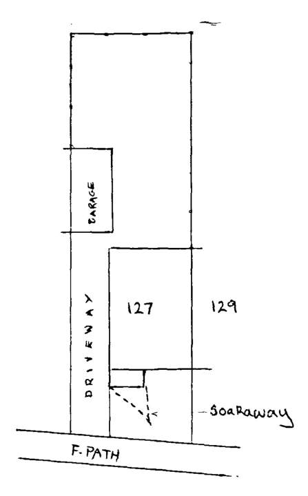
127 Mountbatten Road Braintree Essex CM7 6TPsite · matches3 pages · 1 traced
Stage A — every raw page
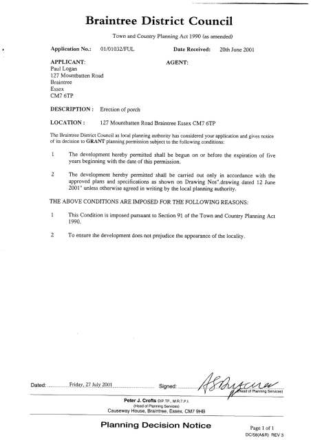
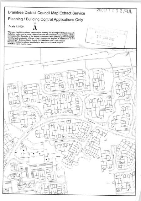
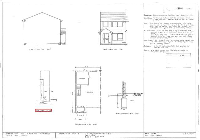
Stage B · C — each plan, in pipeline order
what it said
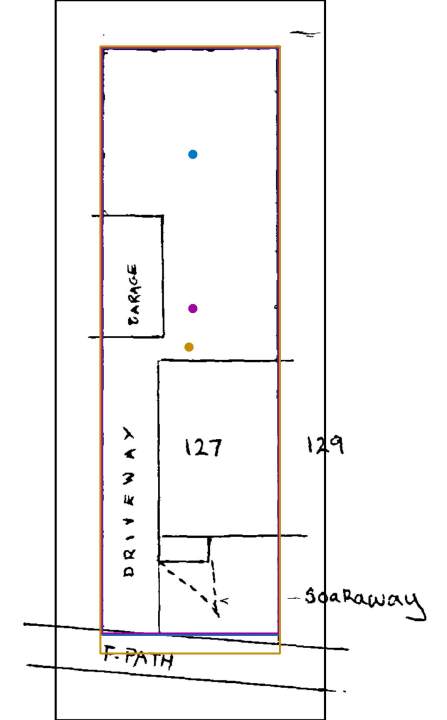
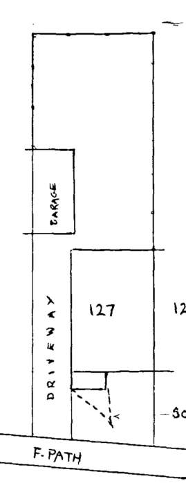
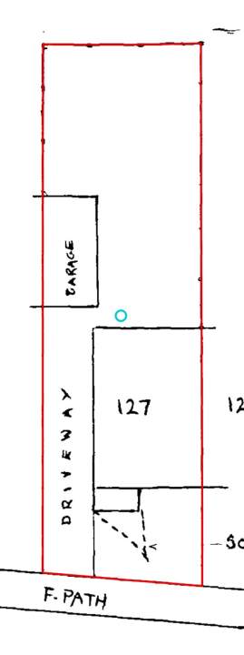
“Traced the outer curtilage boundary enclosing plot 127, including the garden to the north, garage, dwelling and front driveway/soakaway area. The garage and house outlines inside this perimeter were not used as the plot boundary.”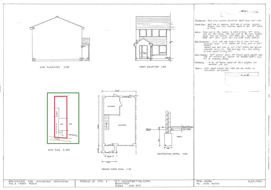
Stage D — on the map
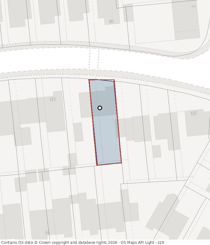
Geocoded to 127, MOUNTBATTEN ROAD, BRAINTREE, CM7 9TP · UPRN 100090302622 · hit parcel 194.6 m²
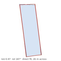
geocode verified, ring at real size (1:200 x 300 dpi)
hit parcel
every candidate
union of land-use sites: shape-only IoU 0.97 from 1 parcel (195 m²)
union of topographic areas: shape-only IoU 0.97 from 3 areas (195 m², Buildings, Land)
direct fit to the line network: edge support 0.93, ring placed at 220 m² (×1.13 of the hit parcel), rotated 187°; encloses 3 topographic areas → IoU 0.77
building outline(s), shape-only, MasterMap Buildings within 40 m: IoU 0.57 from 1 building part (43 m²)
north arrow: rejected — arrow, north 140.0° clockwise from up, confidence 0.68 ('arrow' without a NORTH label is not trusted (leader arrows look the same), confidence 0.68)
ring at real size vs the buildings within 30 m of the address (bidirectional IoU, ±20% size, rotation free): IoU 0.70 with 3 building parts (198 m², 13 m from the point), rotated 286°, size ×0.9
metric prior: drawing scale 1:200 × 300 dpi (JPEG dpi tag) → the ring is really 199 m², ×1.02 the hit parcel; no north label, rotation searched; line-network fit at that size: support 0.94, rotation 188°, 8 m from the address; 3 topographic areas under it (218 m²) → IoU 0.90
elongation ring 2.94 vs hit parcel 3.2
best neighbouring parcel: IoU 0.94 (199 m²)
01_01878_FUL
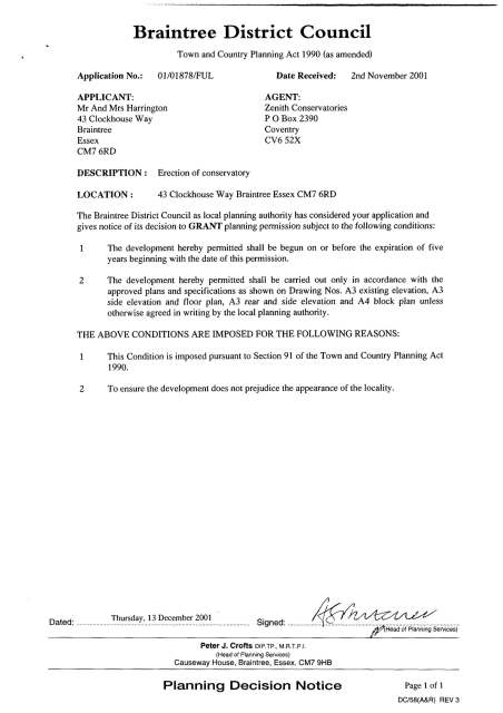
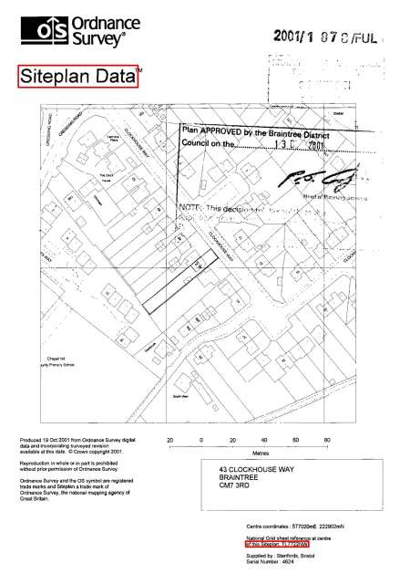
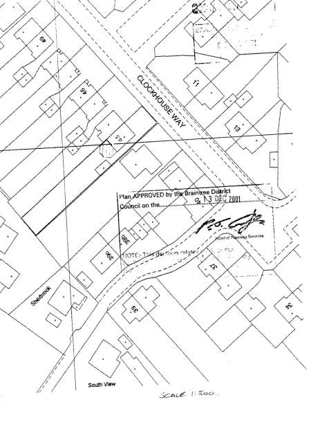
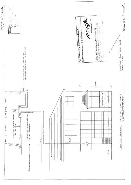
43 Clockhouse Way Braintree Essex CM7 6RDsite · matches7 pages · 1 traced
Stage A — every raw page
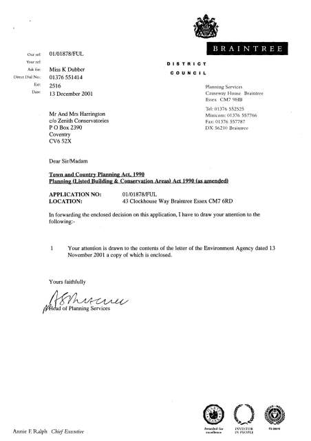
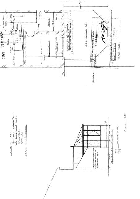
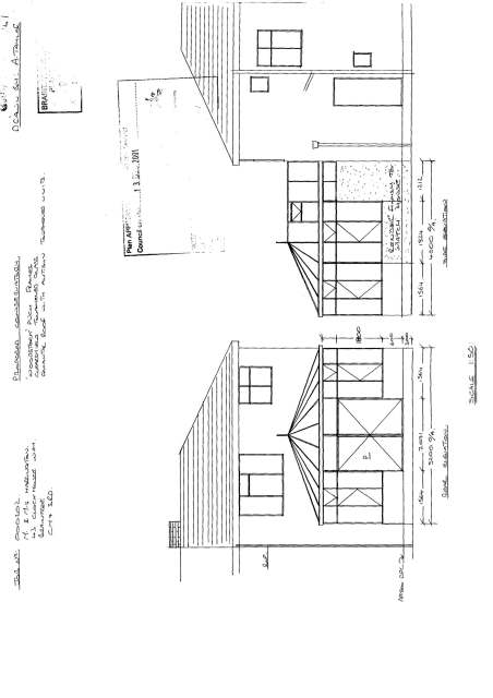
Stage B · C — each plan, in pipeline order
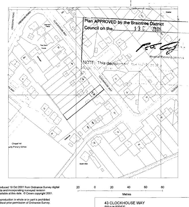
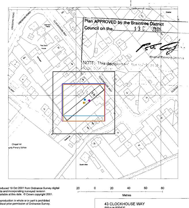
what it said
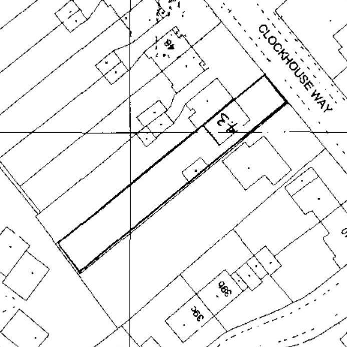
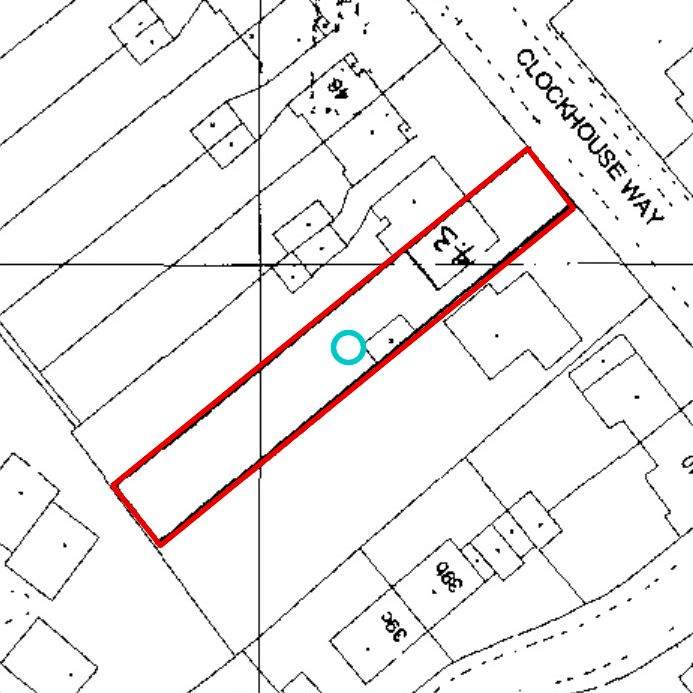
“I traced the heavy, dark outlined long quadrilateral curtilage, including its short end boundaries at the south-west and north-east ends. The finer diagonal property/road lines and the horizontal/vertical annotation/grid lines are not part of this boundary.”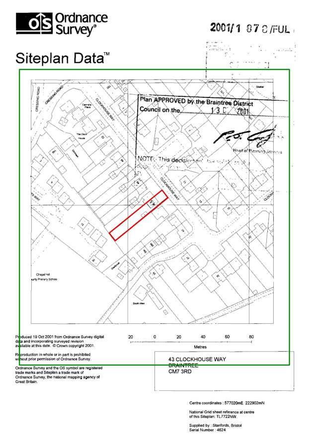
Stage D — on the map
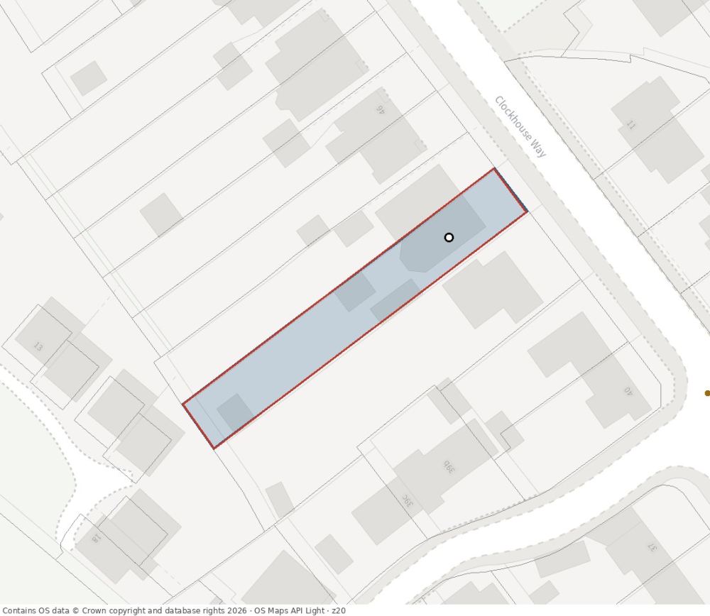
Geocoded to 43, CLOCKHOUSE WAY, BRAINTREE, CM7 3RD · UPRN 100090295536 · hit parcel 454.0 m²
landmarks resolved (4)
Landmarks on the plan resolved: The Clock House → THE CLOCK HOUSE (premises) · CRESSING ROAD → Cressing Road (road) · Elmtrees → ELMTREES (premises) · Chapel → CHAPEL HILL AUTO SERVICES (premises)
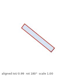
geocode verified
hit parcel
every candidate
union of land-use sites: shape-only IoU 0.99 from 1 parcel (454 m²)
union of topographic areas: shape-only IoU 0.99 from 5 areas (454 m², Buildings, Land)
direct fit to the line network: edge support 0.86, ring placed at 428 m² (×0.94 of the hit parcel), rotated 180°; encloses 5 topographic areas → IoU 0.89
building outline(s), shape-only, MasterMap Buildings within 40 m: IoU 0.41 from 1 building part (68 m²)
landmark registration: 3 anchors (3 premises), rotation 341.0°, 0.321 m/px, RMS 9.9 m; ring 4610 m², 137 m from the geocode; parcel under it IoU 0.12, topo areas under it IoU 0.20
elongation ring 7.01 vs hit parcel 4.65
best neighbouring parcel: IoU 0.89 (393 m²)
01_01301_FUL
36 Colneford Hill White Colne Colchester Essex C06 2PJlocation · matches4 pages · 1 traced
Stage A — every raw page
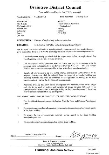
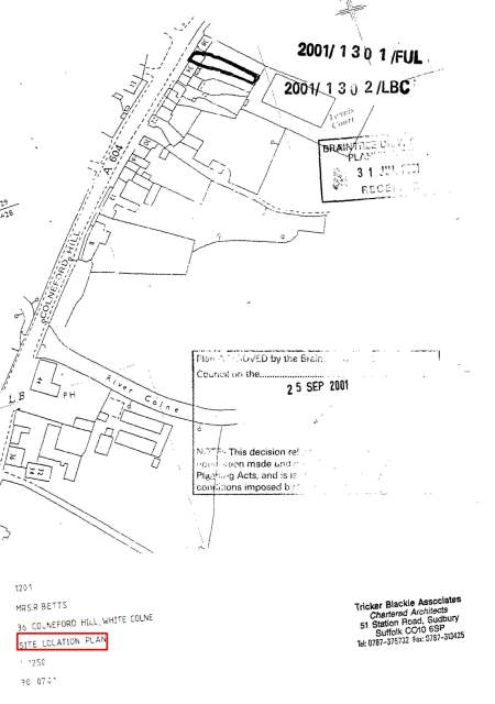
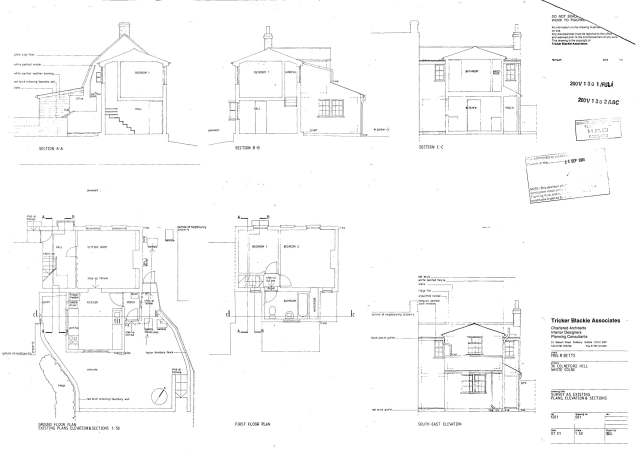
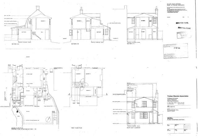
Stage B · C — each plan, in pipeline order
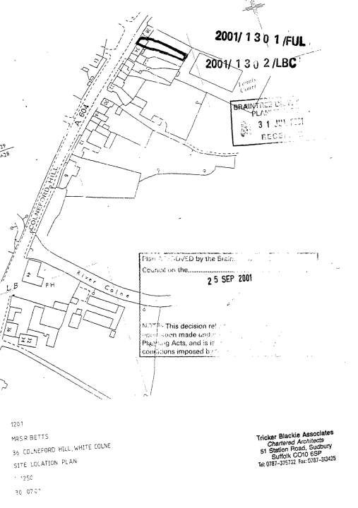
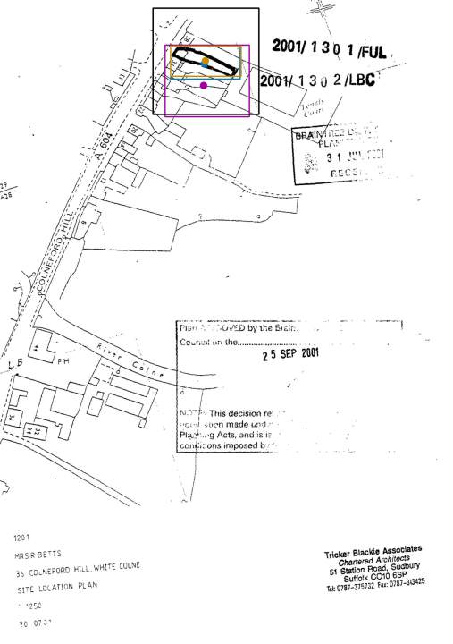
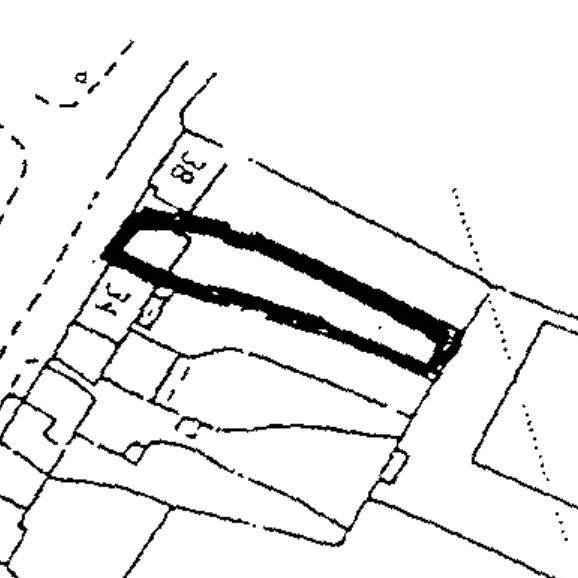
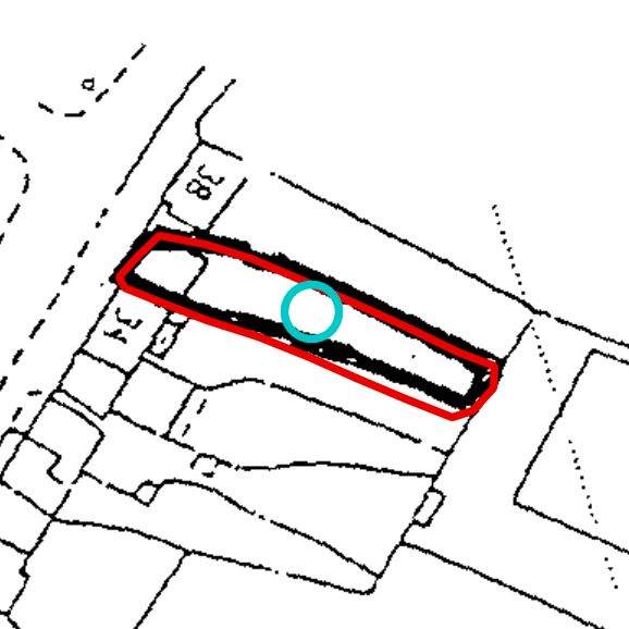
what it said
“I traced the heavy, dark outlined long narrow curtilage/strip, including its angled left end and the short angled return at its eastern end. I did not follow the lighter surrounding parcel and road lines.”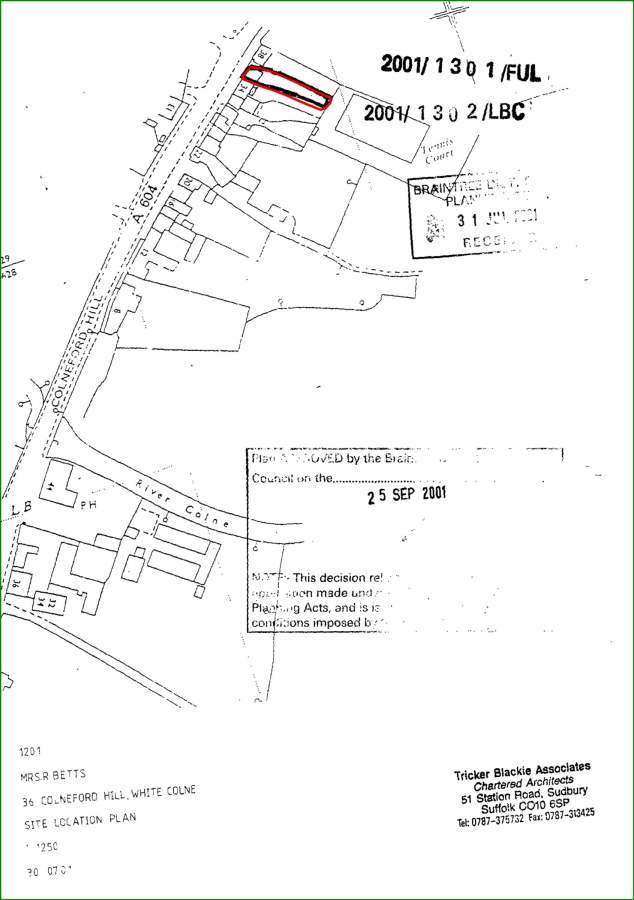
- locators split 2/3 on which plot this is
Stage D — on the map
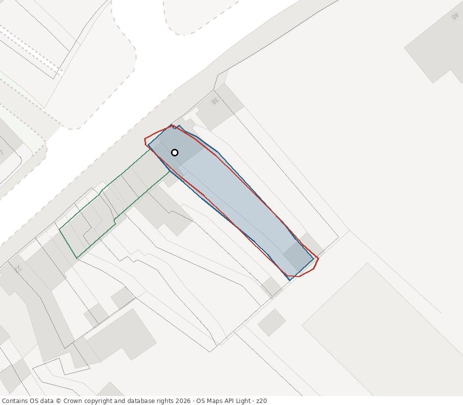
Geocoded to 36, COLNEFORD HILL, WHITE COLNE, COLCHESTER, CO6 2PJ · UPRN 100090310820 · hit parcel 264.3 m²
landmarks resolved (1)
Landmarks on the plan resolved: Colne → COLNE PARK LODGE (premises)
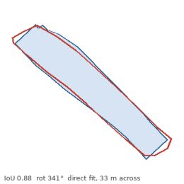
geocode verified, ring at real size (1:1250 x 300 dpi)
hit parcel
every candidate
union of land-use sites: shape-only IoU 0.88 from 1 parcel (264 m²)
union of topographic areas: shape-only IoU 0.88 from 3 areas (264 m², Buildings, Land)
direct fit to the line network: edge support 0.85, ring placed at 173 m² (×0.65 of the hit parcel), rotated 66°; encloses 6 topographic areas → IoU 0.84
building outline(s), shape-only, MasterMap Buildings within 40 m: IoU 0.66 from 4 building parts (114 m²)
north arrow: rejected — arrow, north 344.0° clockwise from up, confidence 0.48 ('arrow' without a NORTH label is not trusted (leader arrows look the same), confidence 0.48)
ring at real size vs the buildings within 30 m of the address (bidirectional IoU, ±20% size, rotation free): IoU 0.64 with 4 building parts (114 m², 0 m from the point), rotated 247°, size ×0.8
metric prior: drawing scale 1:1250 × 300 dpi (JPEG dpi tag) → the ring is really 236 m², ×0.89 the hit parcel; no north label, rotation searched; line-network fit at that size: support 0.84, rotation 248°, 11 m from the address; 6 topographic areas under it (178 m²) → IoU 0.84
elongation ring 4.46 vs hit parcel 3.67
best neighbouring parcel: IoU 0.85 (528 m²)
06_00740_FUL
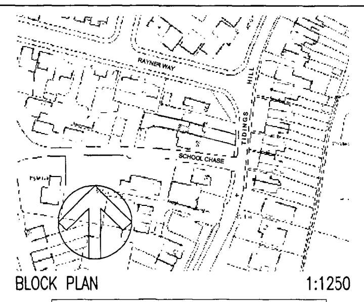
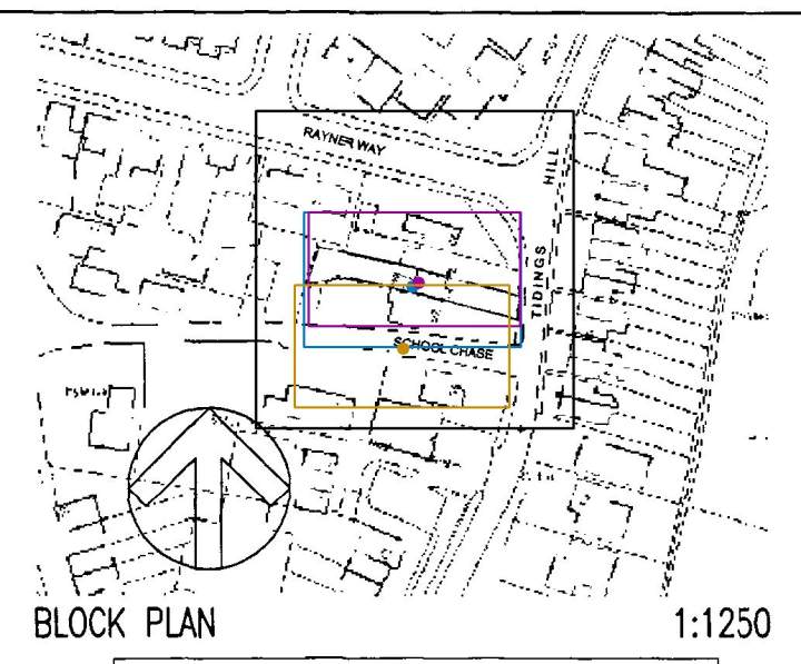
50 Tidings Hill Halstead Essex C09 1BWblock · similarblock · different8 pages · 2 traced
Stage A — every raw page
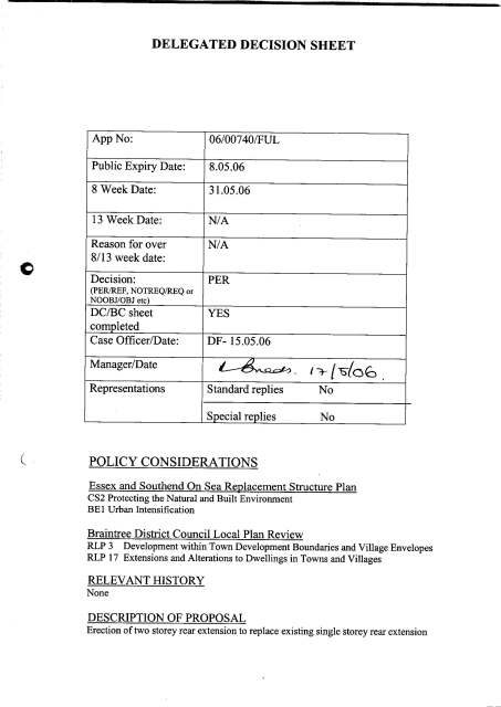
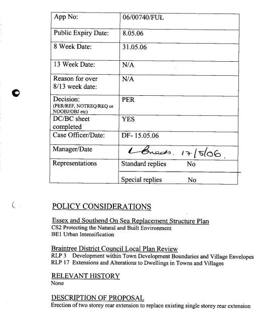

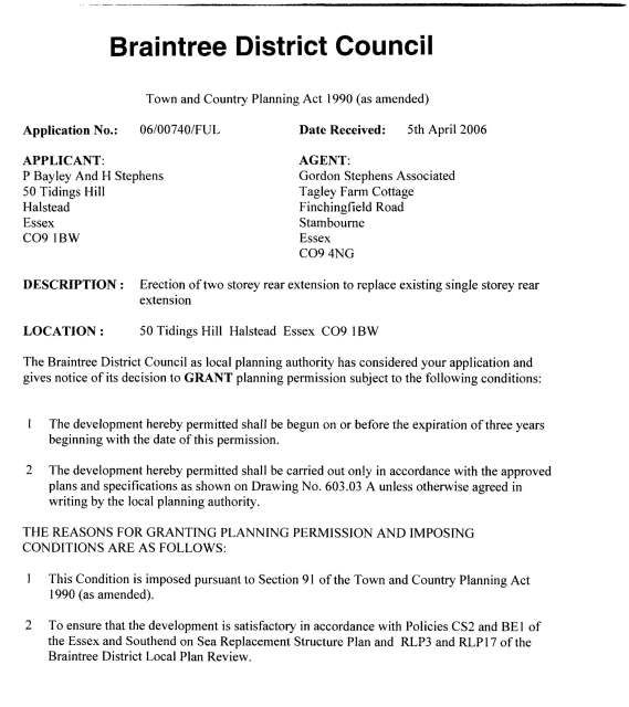
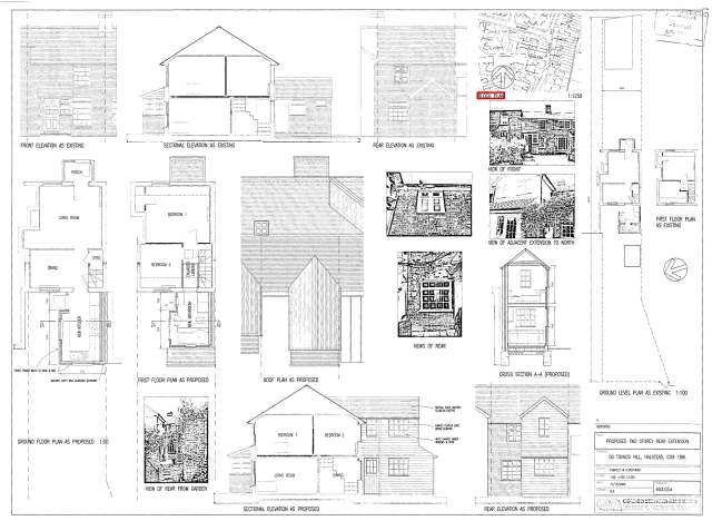
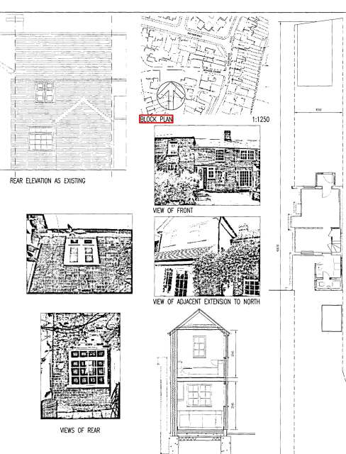
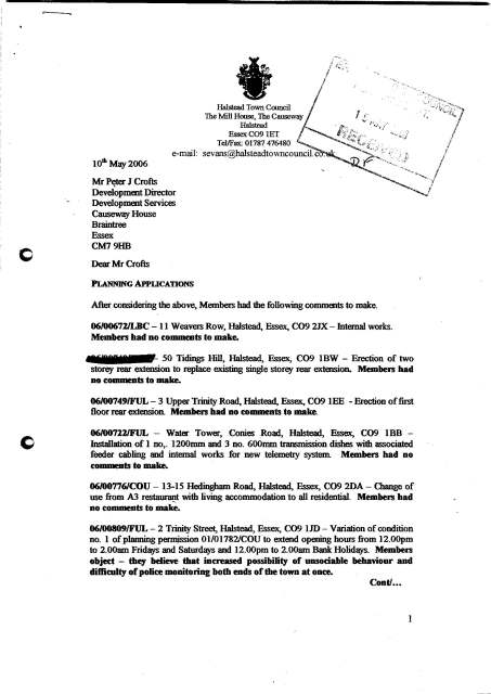
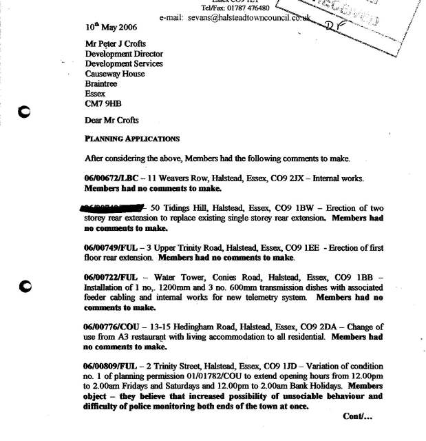
Stage B · C — each plan, in pipeline order
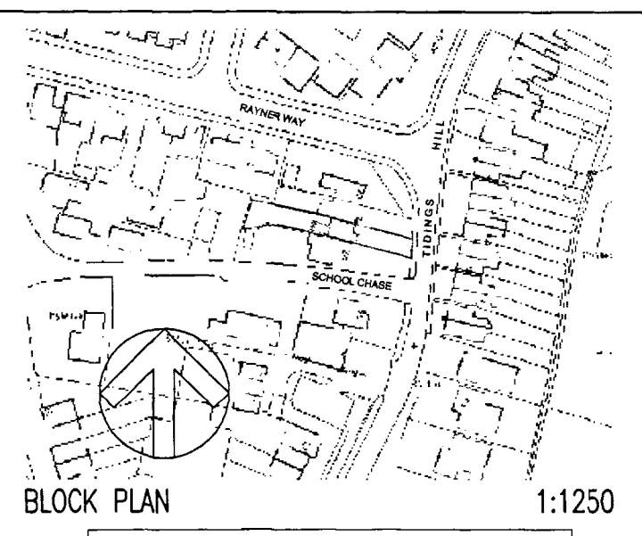
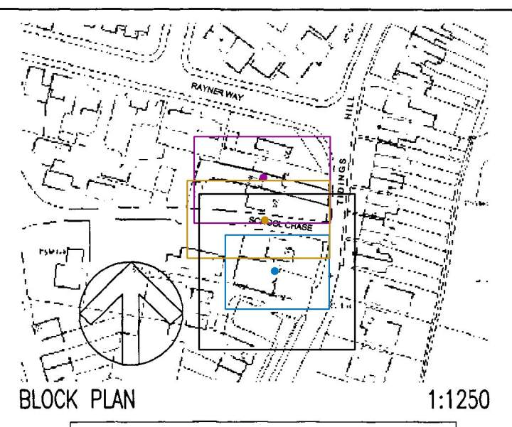
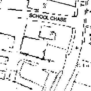
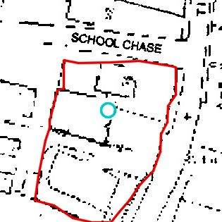
what it said
“Traced the outer dashed/solid property line enclosing the central house and its garden, rather than the internal building walls or the diagonal annotation/leader line. The southern edge of the curtilage runs beyond the bottom of the crop, so the short …”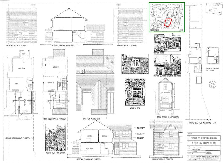
- locators split 1/3 on which plot this is
- the window cuts the plot on the B side
what it said
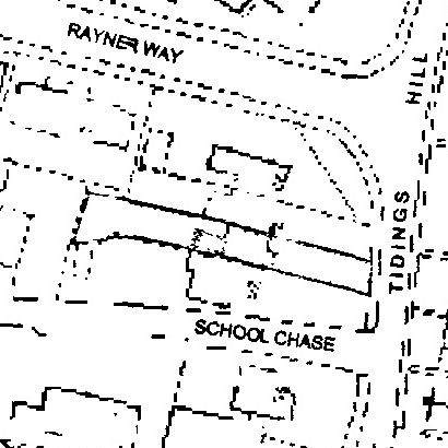
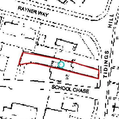
“Traced the bold, elongated wedge-shaped curtilage boundary: the upper diagonal line, the short right-hand return, the lower diagonal/curved line, and the left-hand connecting boundary.”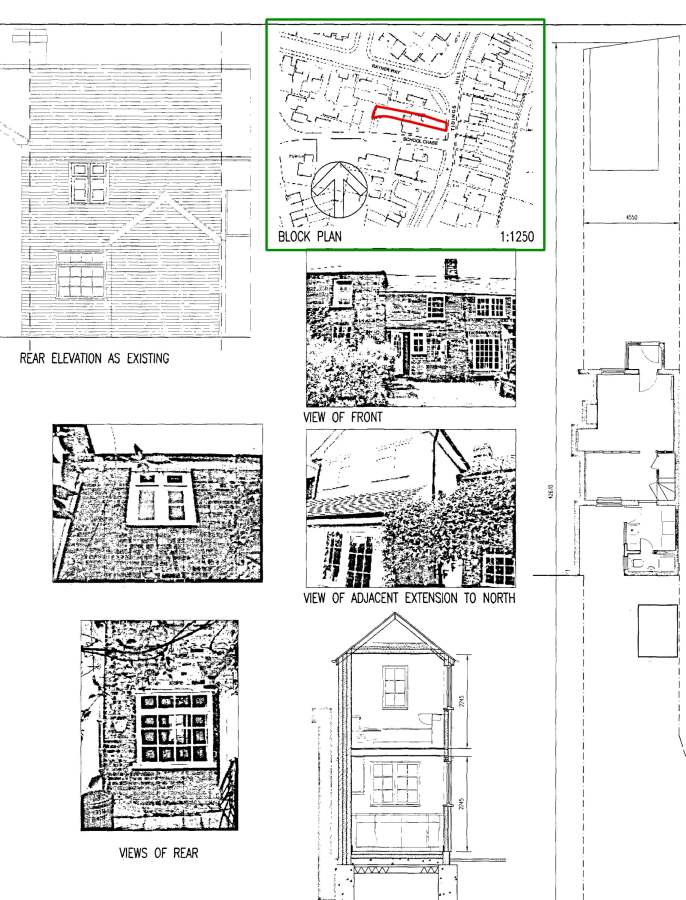
- locators split 2/3 on which plot this is
Stage D — on the map
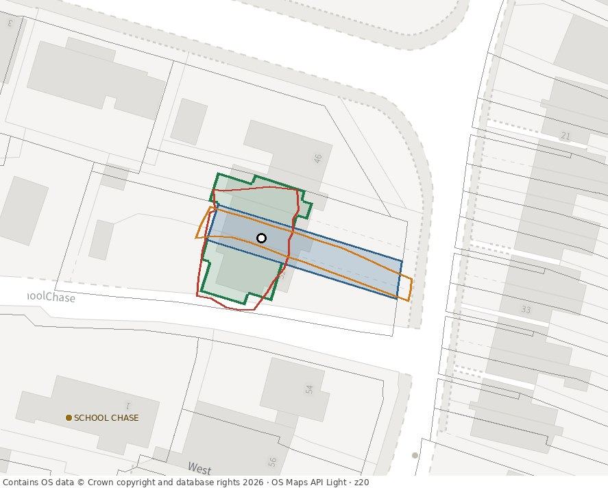
Geocoded to 50, TIDINGS HILL, HALSTEAD, CO9 1BW · UPRN 100090320337 · hit parcel 137.0 m²
landmarks resolved (1)
Landmarks on the plan resolved: SCHOOL CHASE → 1 (premises)
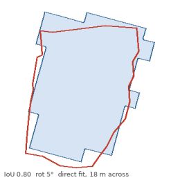
geocode verified
direct fit to the line network
every candidate
union of land-use sites: shape-only IoU 0.55 from 2 parcels (332 m²)
union of topographic areas: shape-only IoU 0.76 from 5 areas (524 m², Buildings, Land)
direct fit to the line network: edge support 0.88, ring placed at 175 m² (×1.28 of the hit parcel), rotated 5°; encloses 3 topographic areas → IoU 0.80
building outline(s), shape-only, MasterMap Buildings within 40 m: IoU 0.88 from 3 building parts (182 m²)
elongation ring 1.29 vs hit parcel 4.73
best neighbouring parcel: IoU 0.87 (67 m²) — the shape prefers a neighbour
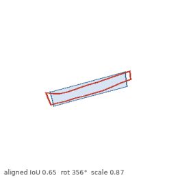
geocode verified
hit parcel
every candidate
union of land-use sites: shape-only IoU 0.65 from 1 parcel (137 m²)
union of topographic areas: shape-only IoU 0.65 from 2 areas (137 m², Buildings, Land)
direct fit to the line network: edge support 0.85, ring placed at 175 m² (×1.28 of the hit parcel), rotated 179°; encloses 3 topographic areas → IoU 0.59
building outline(s), shape-only, MasterMap Buildings within 40 m: IoU 0.38 from 1 building part (58 m²)
elongation ring 5.70 vs hit parcel 4.73
best neighbouring parcel: IoU 0.87 (137 m²) — the shape prefers a neighbour
83_00511_P
Fieldings 231 London Road Black Notley Braintree Essex CM77 8QGlocation · similarblock · unverified7 pages · 2 traced
Stage A — every raw page
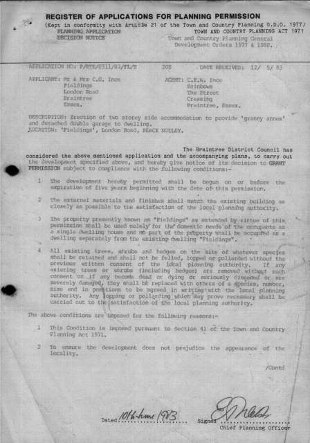
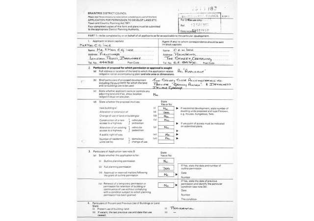
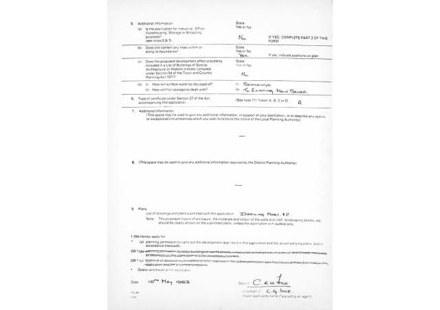
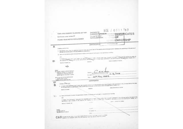
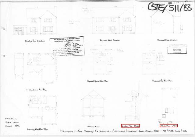
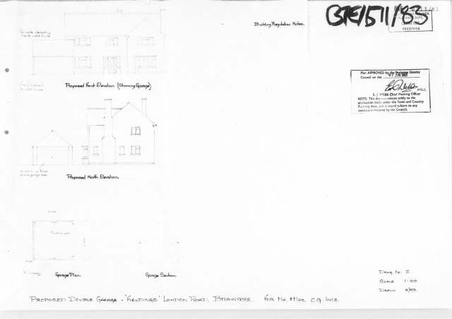
Stage B · C — each plan, in pipeline order
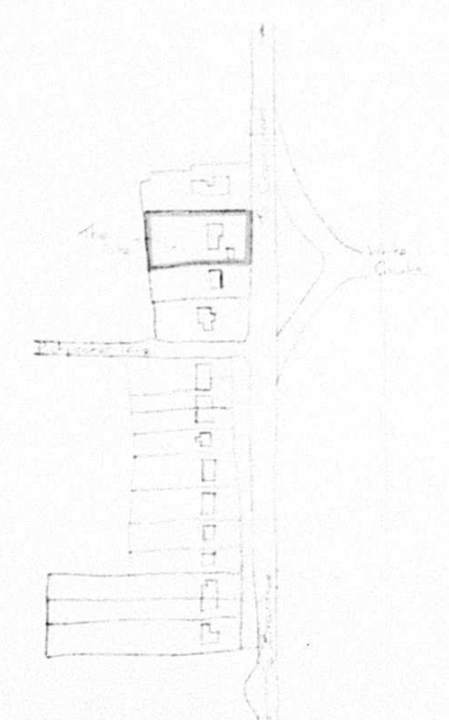
what it said
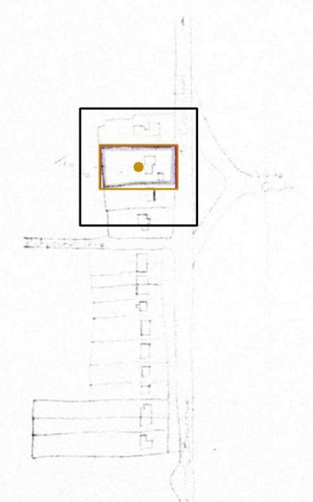
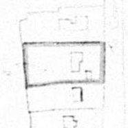
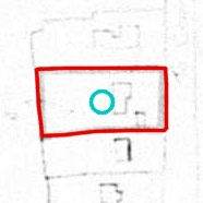
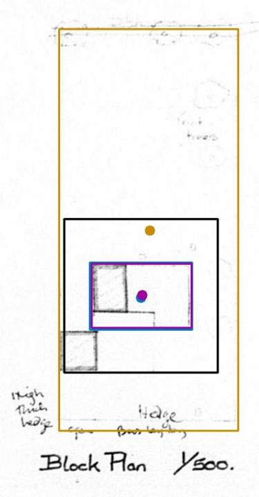
“I traced the heavy, dark four-sided curtilage line surrounding the upper house/garden plot: its long rear/top boundary, the right-hand boundary, the sloping front/lower boundary, and the left-hand boundary. The darker internal building marks and the lower …”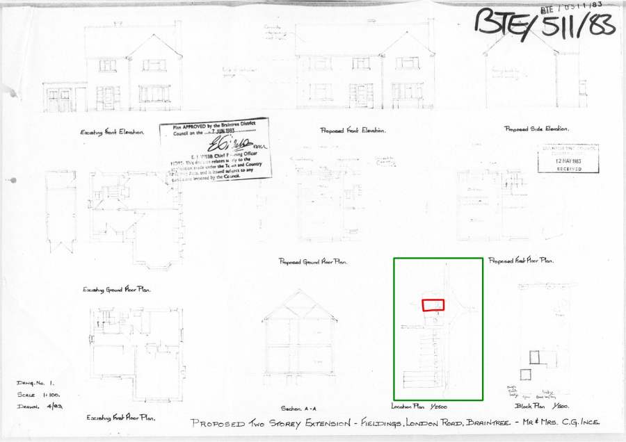
what it said
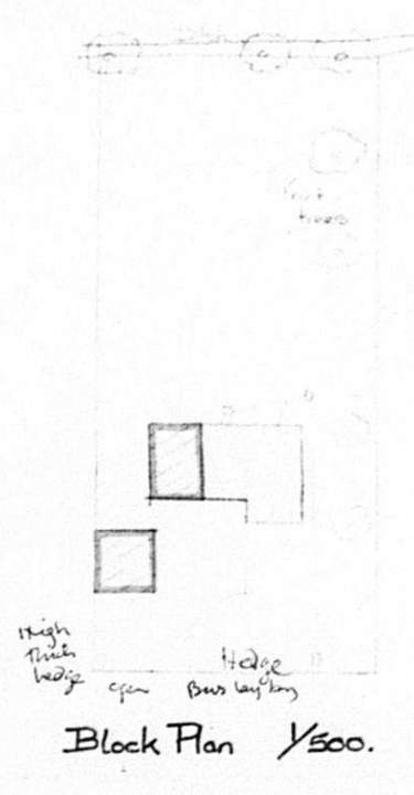
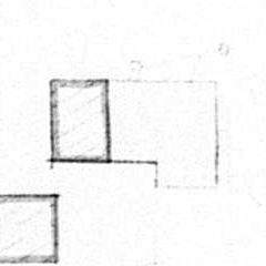
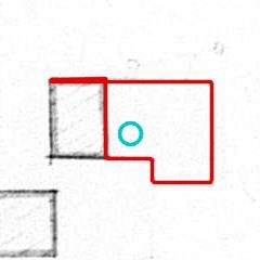
“The only coherent application marking visible is the stepped outline of the building/structure: a heavily inked left-hand block joined to a much fainter larger right-hand block. No separate curtilage boundary is distinguishable, so I traced the marked …”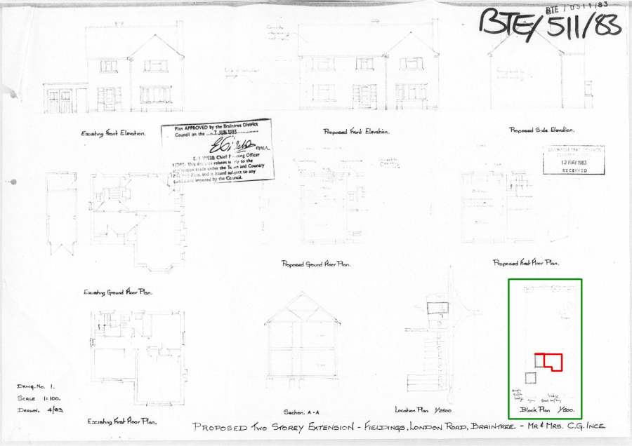
- locators split 2/3 on which plot this is
- 32% of the ring lies over blank paper, so those sides were not traced from anything drawn
- traced the marked building; no curtilage was drawn
Stage D — on the map
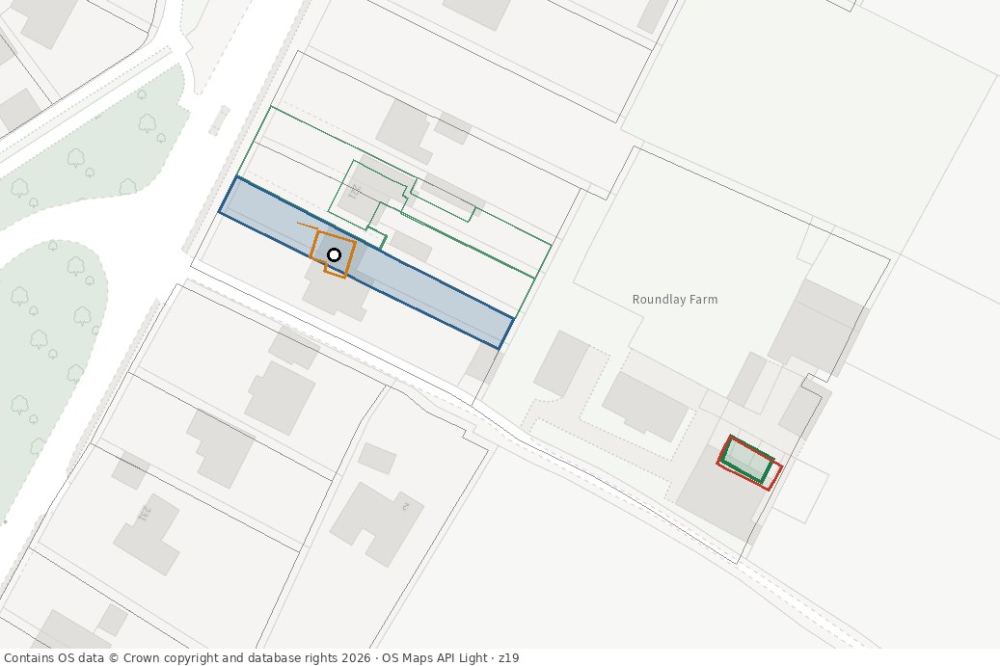
Geocoded to 223, LONDON ROAD, BLACK NOTLEY, BRAINTREE, CM77 8QG · UPRN 100090301226 · hit parcel 441.7 m²
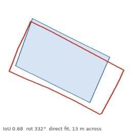
drawing scale 1:1250 x 300 dpi, geocode unverified
2 topographic areas under the metric placement (53 m²)
every candidate
union of land-use sites: shape-only IoU 0.89 from 3 parcels (1617 m²)
union of topographic areas: shape-only IoU 0.90 from 7 areas (1543 m², Buildings, Land)
direct fit to the line network: edge support 0.83, ring placed at 863 m² (×1.95 of the hit parcel), rotated 155°; encloses 6 topographic areas → IoU 0.65
building outline(s), shape-only, MasterMap Buildings within 40 m: IoU 0.76 from 1 building part (47 m²)
north arrow: rejected — arrow, north 45.0° clockwise from up, confidence 0.38 ('arrow' without a NORTH label is not trusted (leader arrows look the same), confidence 0.38)
ring at real size vs the buildings within 30 m of the address (bidirectional IoU, ±20% size, rotation free): IoU 0.82 with 1 building part (61 m², 13 m from the point), rotated 156°, size ×0.9
metric prior: drawing scale 1:1250 × 300 dpi (JPEG dpi tag) → the ring is really 76 m², ×0.17 the hit parcel; no north label, rotation searched; line-network fit at that size: support 0.92, rotation 332°, 89 m from the address; 2 topographic areas under it (53 m²) → IoU 0.68
elongation ring 1.92 vs hit parcel 5.4
best neighbouring parcel: IoU 0.95 (436 m²) — the shape prefers a neighbour
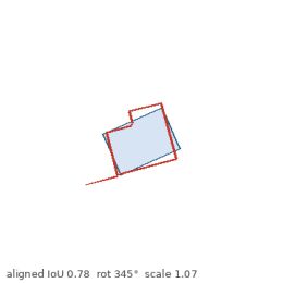
geocode unverified: neither premise 'FIELDINGS' nor street '231 LONDON ROAD' found in the result
building outline(s)
every candidate
union of land-use sites: shape-only IoU 0.62 from 3 parcels (1617 m²)
union of topographic areas: shape-only IoU 0.67 from 7 areas (1496 m², Buildings, Land)
direct fit to the line network: edge support 0.81, ring placed at 980 m² (×2.22 of the hit parcel), rotated 66°; encloses 6 topographic areas → IoU 0.36
building outline(s), shape-only, MasterMap Buildings within 40 m: IoU 0.78 from 1 building part (47 m²)
elongation ring 1.59 vs hit parcel 5.4
best neighbouring parcel: IoU 0.80 (494 m²) — the shape prefers a neighbour
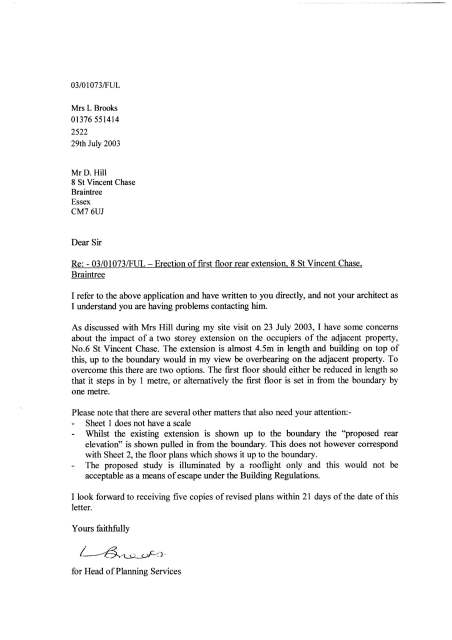
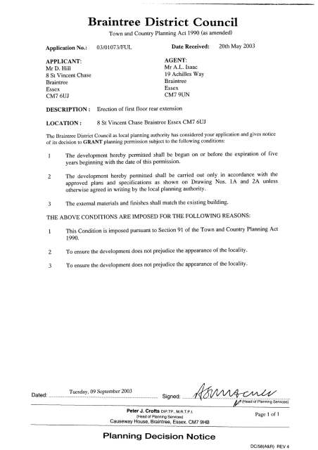
03_01073_FUL
8 St Vincent Chase Braintree Essex CM7 6UJblock · similar11 pages · 1 traced
Stage A — every raw page
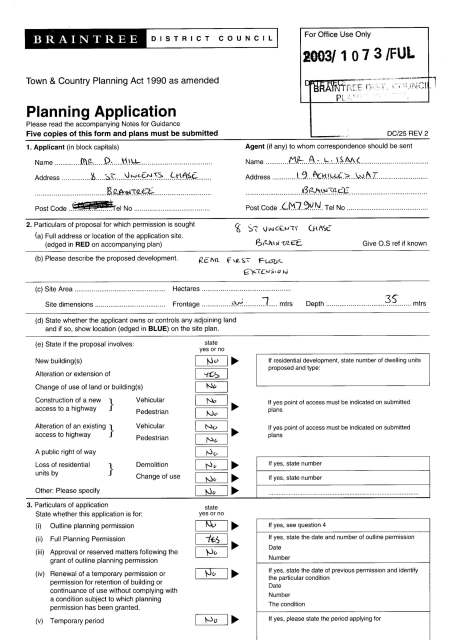
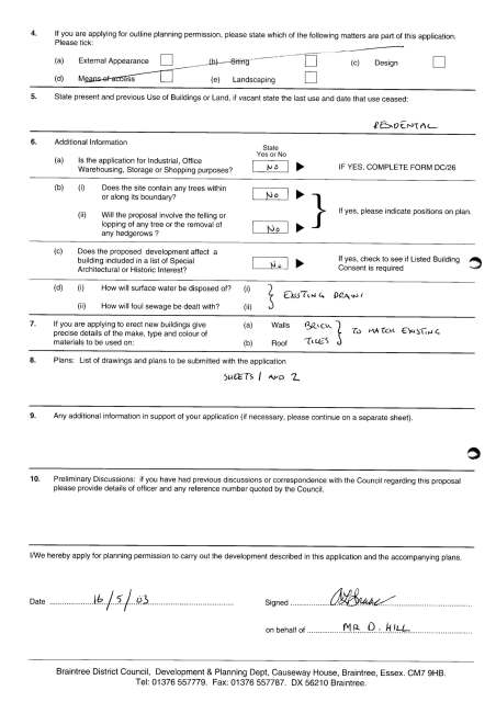
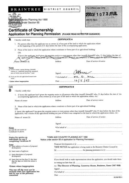

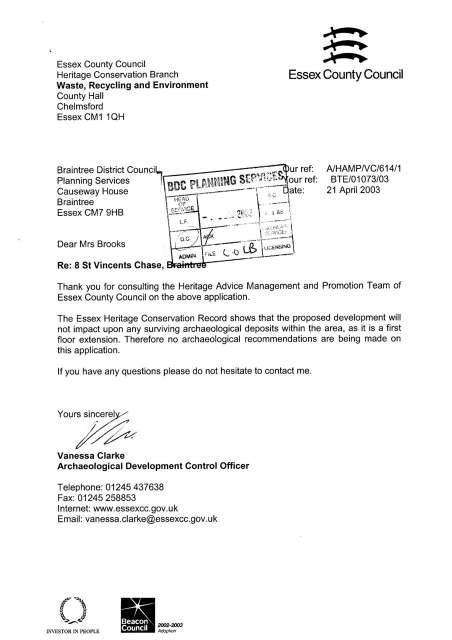
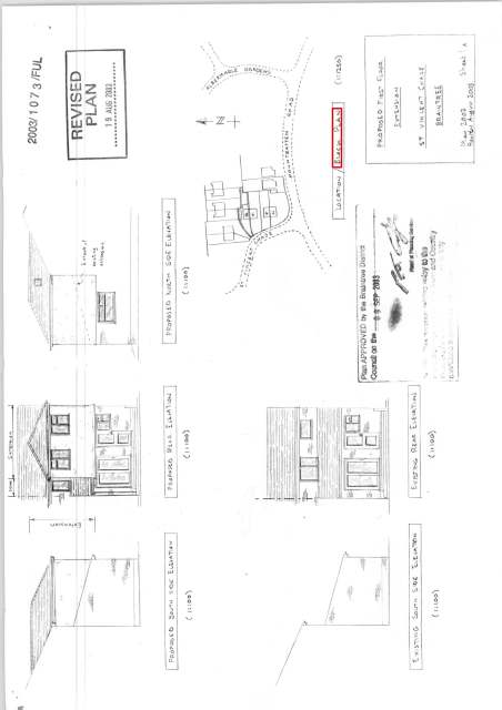
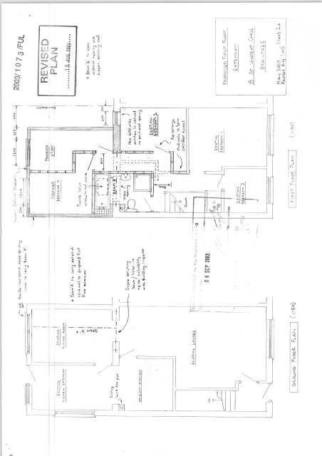
Stage B · C — each plan, in pipeline order
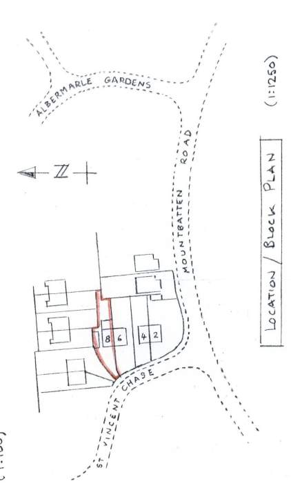
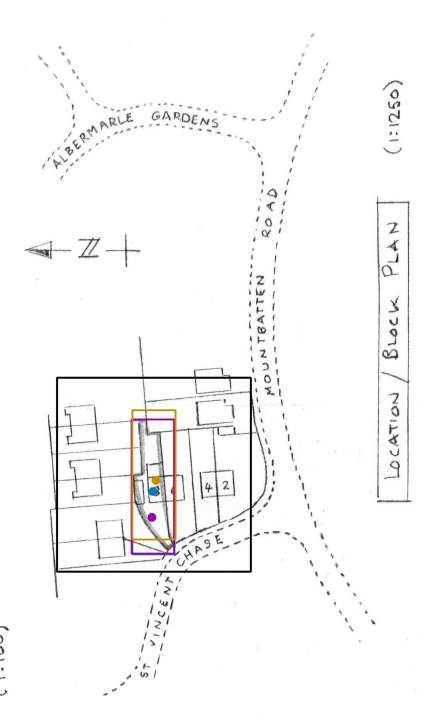
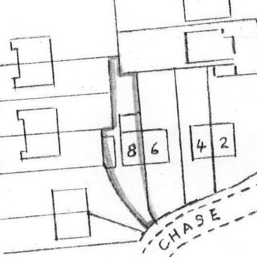
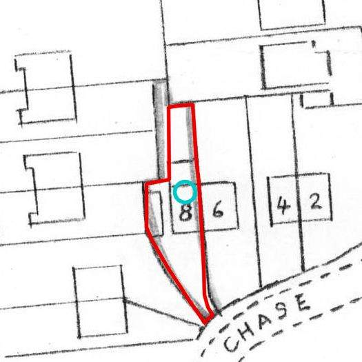
what it said
“Traced the narrow curtilage containing the building labelled 8: its rear boundary runs from the stepped heavy left-hand line to the dividing line towards plot 6, the sides run down either side of the house/garden, and the frontage follows the curved road …”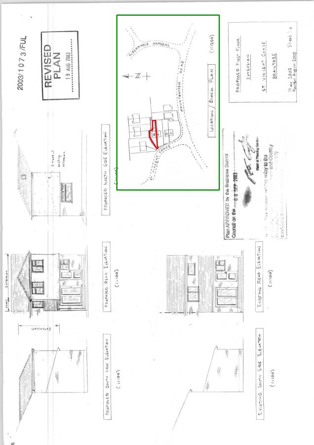
Stage D — on the map
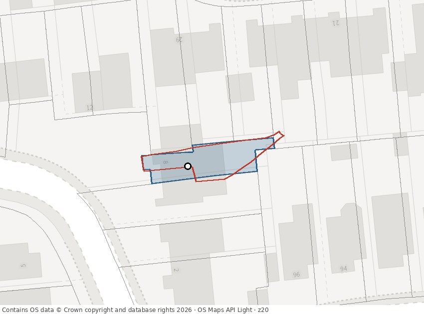
Geocoded to 8, ST. VINCENT CHASE, BRAINTREE, CM7 9UJ · UPRN 100090305871 · hit parcel 125.3 m²
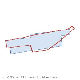
geocode probable, ring at real size (1:1250 x 300 dpi)
hit parcel
every candidate
union of land-use sites: shape-only IoU 0.70 from 1 parcel (125 m²)
union of topographic areas: shape-only IoU 0.70 from 2 areas (125 m², Buildings, Land)
direct fit to the line network: edge support 0.85, ring placed at 77 m² (×0.61 of the hit parcel), rotated 276°; encloses 1 topographic areas → IoU 0.53
building outline(s), shape-only, MasterMap Buildings within 40 m: IoU 0.62 from 1 building part (64 m²)
north arrow: rejected — arrow, north 270.0° clockwise from up, confidence 0.98 ('arrow' without a NORTH label is not trusted (leader arrows look the same), confidence 0.98)
ring at real size vs the buildings within 30 m of the address (bidirectional IoU, ±20% size, rotation free): IoU 0.60 with 1 building part (92 m², 19 m from the point), rotated 172°, size ×0.8
metric prior: drawing scale 1:1250 × 300 dpi (JPEG dpi tag) → the ring is really 175 m², ×1.4 the hit parcel; no north label, rotation searched; line-network fit at that size: support 0.81, rotation 184°, 9 m from the address; 3 topographic areas under it (212 m²) → IoU 0.44
elongation ring 3.85 vs hit parcel 3.78
best neighbouring parcel: IoU 0.72 (174 m²)
LEDGERWhat came out of each folder
open
By eye, 15 of 20 rings enclose the right plot. Trace bands, measured blind on 97 unseen pages: high 88% right · medium 67% · low 22%. Below high goes to review.
| Case folder | Pages in | Caption pages | Plans filed | Unique | Rings | Confidence bands | API cost |
|---|---|---|---|---|---|---|---|
| 00_00024_FUL | 5 | 1 | 2 | 2 | 2 | high, high | $0.061 |
| 01_00559_FUL | 2 | 1 | 2 | 2 | 1 | none, high | $0.058 |
| 02_02212_FUL | 2 | 1 | 1 | 1 | 1 | medium | $0.047 |
| 06_01326_FUL | 2 | 1 | 2 | 2 | 2 | high, high | $0.047 |
| 07_02248_COU | 3 | 1 | 2 | 2 | 2 | low, high | $0.060 |
| 01_01633_FUL | 3 | 2 | 4 | 3 | 3 | medium, medium, medium | $0.043 |
| 01_01032_FUL | 3 | 1 | 1 | 1 | 1 | high | $0.025 |
| 01_01878_FUL | 7 | 1 | 1 | 1 | 1 | high | $0.015 |
| 01_01301_FUL | 4 | 1 | 1 | 1 | 1 | low | $0.023 |
| 06_00740_FUL | 8 | 2 | 2 | 2 | 2 | low, medium | $0.041 |
| 83_00511_P | 7 | 1 | 2 | 2 | 2 | high, low | $0.028 |
| 03_01073_FUL | 11 | 1 | 1 | 1 | 1 | high | $0.018 |
| all | 57 | 14 | 21 | 20 | 19 | 10 high · 11 auto-usable | $0.466 |
MAPHow the ring is matched to the parcel
open
- Geocode → parcel. OS Places gives a UPRN; the UPRN picks an OS NGD site. QC: premise, street, postcode against the council record.
- Shape fits round that parcel. Alignment, unions of neighbours, direct line-network fit, buildings. All of these are shape-only (area-normalised), so a rectangle matches any rectangle.
- The drawing's own evidence. Caption 1:N × scan dpi = real size; the north arrow = rotation. The ring is then matched at real size (bidirectional IoU) and may not relocate while the geocode is verified and the size agrees.
- Landmarks. OCR labels → OS Places / Names → a crop-to-grid transform that places the ring without the geocode.
- Precedence. Sound landmarks → real size when the stated size ≠ parcel ×2 → verified geocode (best fit, +0.05 over the hit) → otherwise unverified.
| Case | Plan | Geocode | Hit m² | Hit parcel, shape only | Final IoU | Decided by | Fitted to | Verdict |
|---|---|---|---|---|---|---|---|---|
| 00_00024_FUL | location | verified | 625.7 | 0.81 | 0.80 real size | geocode + real size | hit parcel | matches |
| 00_00024_FUL | site | verified | 625.7 | 0.88 | 0.88 shape only | geocode | hit parcel | matches |
| 01_00559_FUL | location | 0.7 | 461.2 | — | — | — | — | no ring |
| 01_00559_FUL | block | verified | 461.2 | 0.82 | 0.83 real size | geocode + real size | hit parcel | matches |
| 02_02212_FUL | location | verified | 571.8 | 0.26 | 0.84 real size | drawing scale + real size | 2 building part(s) at real size | matches |
| 06_01326_FUL | block | verified | 7206.1 | 0.69 | 0.25 real size | drawing scale + real size | metric fit, 3 areas | different |
| 06_01326_FUL | location | verified | 7206.1 | 0.74 | 0.88 real size | drawing scale + real size | metric fit, 39 areas | matches |
| 07_02248_COU | block | unverified | 505.9 | 0.83 | 0.81 shape only | landmarks | hit parcel | matches |
| 07_02248_COU | location | unverified | 505.9 | 0.62 | 0.66 shape only | landmarks | 4 sites | similar |
| 01_01633_FUL | site/block | verified | 5538.0 | 0.47 | 0.20 real size | drawing scale + real size | metric fit, 2 areas | different |
| 01_01633_FUL | site | verified | 5538.0 | 0.50 | 0.58 real size | geocode | line network, 4 areas | different |
| 01_01633_FUL | block | verified | 5538.0 | 0.47 | 0.60 real size | drawing scale + real size | metric fit, 1 areas | different |
| 01_01032_FUL | site | verified | 194.6 | 0.97 | 0.97 real size | geocode + real size | hit parcel | matches |
| 01_01878_FUL | site | verified | 454.0 | 0.99 | 0.99 shape only | geocode | hit parcel | matches |
| 01_01301_FUL | location | verified | 264.3 | 0.88 | 0.88 real size | geocode + real size | hit parcel | matches |
| 06_00740_FUL | block | verified | 137.0 | 0.43 | 0.80 real size | geocode | line network, 3 areas | similar |
| 06_00740_FUL | block | verified | 137.0 | 0.65 | 0.65 shape only | geocode | hit parcel | different |
| 83_00511_P | location | unverified | 441.7 | 0.36 | 0.68 real size | drawing scale + real size | metric fit, 2 areas | similar |
| 83_00511_P | block | unverified | 441.7 | 0.31 | 0.78 shape only | unverified | 1 building part(s) | unverified |
| 03_01073_FUL | block | probable | 125.3 | 0.70 | 0.72 real size | geocode + real size | hit parcel | similar |
RUNHow to reproduce it
open
One command per batch; every stage resumes.
Interactive map: webgis.html next to this page (local; needs the OS key).
# the whole workflow, one command (github.com/jiaazhaoo/e2e-plan-extract)
python3 -m e2e_plan_extract check
python3 -m e2e_plan_extract run --cases 00_00024_FUL 01_00559_FUL --records records.xlsx --out OUT --budget-usd 5
python3 -m e2e_plan_extract run --all --records records.xlsx --out OUT --stages ABCNDER   # E adds terra-on-OS
python3 -m e2e_plan_extract report --out OUT --verdicts verdicts.json